Medium airport · United States
Knox County Regional AirportKRKD
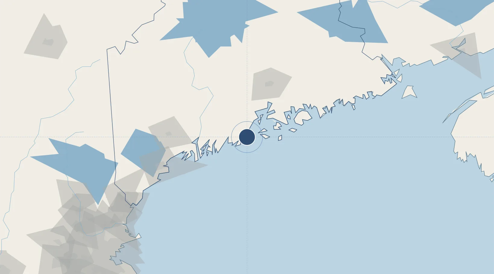
44.0601°, -69.0992°
5,412 ft
Longest runway
2
Runways
56 ft
Elevation
Runway & Layout

Radio Frequencies
AWOS
119.025 MHz
AWOS 3
A/D
123.8 MHz
BRUNSWICK APP/DEP
UNIC
123.05 MHz
CTAF/UNICOM
Runways · 2
| Runway | Dimensions | Surface | True heading | Lit |
|---|---|---|---|---|
| 13/31 | 5,412 × 100ft | Asphalt | 111° | ✓ |
| 03/21 | 4,000 × 100ft | Asphalt | 013° | ✓ |
Airport Specifications
IATA code
RKD
ICAO code
KRKD
Airport class
Medium airport
Scheduled service
Yes
Runway surface
Asphalt
Served city
Rockland
Location
Nearby Logistics Neighbours
Airports
- 1Witherspoons Airport21 km
- 2Vinalhaven Airport22 km
- 3Matinicus Island Airport27 km
- 4Islesboro Airport31 km
- 5Augusta State Airport63 km
Cities
- 1Spruce Head7 km
- 2Saint George8 km
- 3Rockport14 km
- 4Tenants Harbour15 km
- 5Camden16 km
Ports
- 1Rockland4 km
- 2Thomaston7 km
- 3Rockport14 km
- 4Camden18 km
- 5North Haven20 km
Trade Zones
- 1FTZ No. 186 Waterville72 km
- 2FTZ No. 058 Bangor86 km
- 3FTZ No. 263 Auburn89 km
- 4FTZ No. 081 Portsmouth180 km
- 5FTZ No. 027 Boston254 km
DatabookThe Record of Consolidated Knowledge
United States beyond logistics?