UN/LOCODE hub · United States
USNFH

North Falmouth

43.7667°, -70.3333°
2
Transport functions

Transport Functions

Rail
Road
UN/LOCODE

Hub Profile

Place type
Populated place
GeoNames
Region
Maine
GeoNames
Time zone
America/New_York
GeoNames
Elevation
111 m
GeoNames

Location

Location of USNFH
Natural Earth 10m (public domain) · Maine · USNFH · 43.77, -70.33GoogleOSMYandex

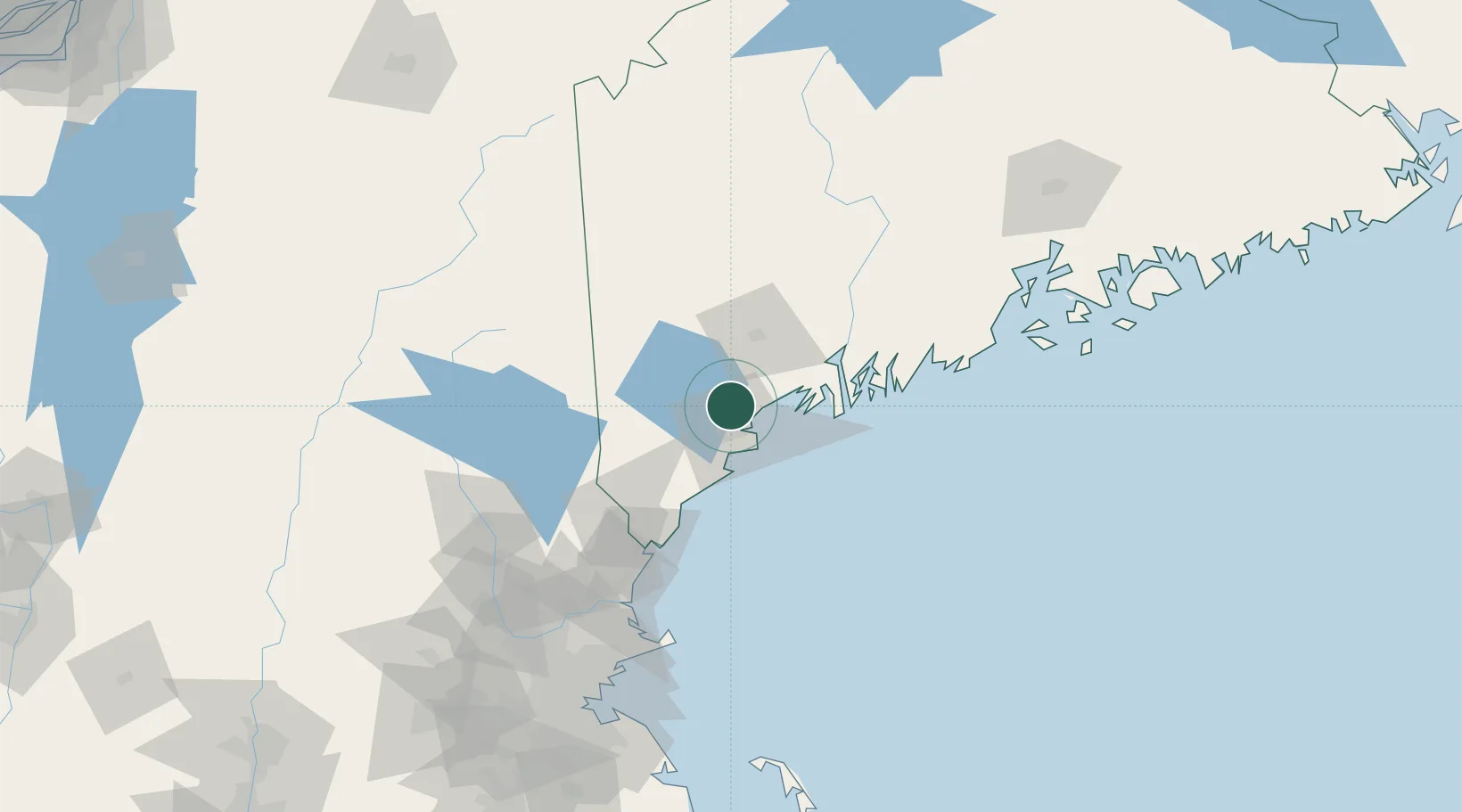
Nearby Logistics Neighbours

Cities
  1. 1Falmouth10 km
  2. 2Portland15 km
  3. 3Freeport21 km
  4. 4Saco27 km
  5. 5Hollis27 km
Nearest neighbours — logibook spatial index (haversine) over the source coordinates
Ports
  1. 1Portland13 km
  2. 2South Harpswell26 km
  3. 3Saco31 km
  4. 4Bath45 km
  5. 5Kennebunkport46 km
Nearest neighbours — logibook spatial index (haversine) over the source coordinates
Airports
  1. 1Portland International Jetport14 km
  2. 2Brunswick Executive Airport35 km
  3. 3Augusta State Airport75 km
  4. 4Portsmouth International Airport at Pease86 km
  5. 5Knox County Regional Airport104 km
Nearest neighbours — logibook spatial index (haversine) over the source coordinates
Trade Zones
  1. 1FTZ No. 263 Auburn38 km
  2. 2FTZ No. 081 Portsmouth89 km
  3. 3FTZ No. 186 Waterville100 km
  4. 4FTZ No. 058 Bangor167 km
  5. 5FTZ No. 027 Boston173 km
Nearest neighbours — logibook spatial index (haversine) over the source coordinates
DatabookThe Record of Consolidated Knowledge
United States beyond logistics?
Browse databook

All Sources

LocationsUN/LOCODE
UN/LOCODE — free
Portsthe NGA World Port Index
Public domain (US gov)
AirportsOurAirports
Public domain
Trade Zonesthe World Bank SEZ database
CC BY 4.0
Trade ZonesOpen Zone Map
CC BY
← United States locations