Medium airport · United States

Brunswick Executive AirportKBXM
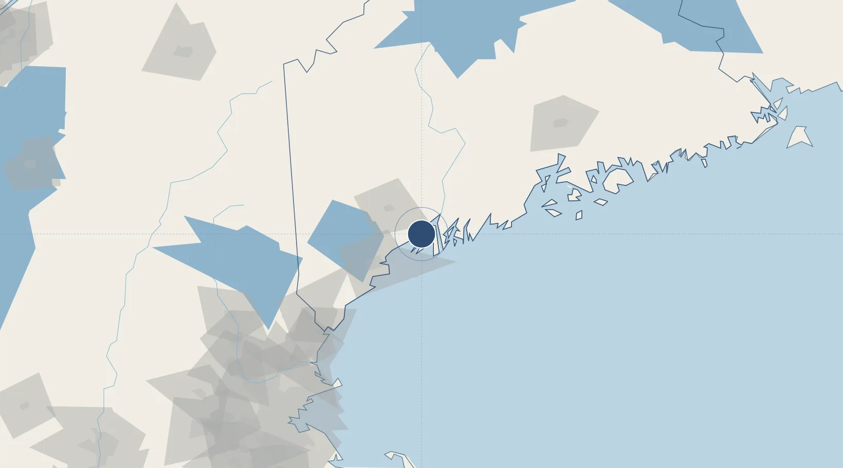
43.8922°, -69.9386°
8,000 ft
Longest runway
1
Runways
72 ft
Elevation

Runway & Layout

Brunswick Executive Airport runway & taxiway layout
Runway & taxiway layout — OpenStreetMap (ODbL) / OurAirports

Radio Frequencies

ATIS
120.55 MHz
TWR
119.6 MHz
GND
134.55 MHz
CLD
134.1 MHz
CLNC DEL
A/D
118.15 MHz
APP/DEP
OPS
25.75 MHz
BASE OPS
PMSV
26.4 MHz
PMSV METRO
OurAirports

Navaids

NHZ TACAN Brunswick 115.20 MHz
OurAirports

Runways · 1

RunwayDimensions SurfaceTrue headingLit
01R/19L 8,000 × 200ft Asphalt 355°
OurAirports

Airport Specifications

IATA code
NHZ
OurAirports
ICAO code
KBXM
OurAirports
Airport class
Medium airport
OurAirports
Scheduled service
No
OurAirports
Runway surface
Asphalt
OurAirports
Served city
Brunswick
OurAirports

Location

Location of KBXM
Natural Earth 10m (public domain) · Maine · KBXM · 43.89, -69.94GoogleOSMYandex

Nearby Logistics Neighbours

Airports
  1. 1Portland International Jetport40 km
  2. 2Augusta State Airport49 km
  3. 3Knox County Regional Airport70 km
  4. 4Matinicus Island Airport84 km
  5. 5Witherspoons Airport90 km
Nearest neighbours — logibook spatial index (haversine) over the source coordinates
Cities
  1. 1Bath10 km
  2. 2Harpswell Center11 km
  3. 3Freeport14 km
  4. 4Lisbon Falls16 km
  5. 5Lisbon20 km
Nearest neighbours — logibook spatial index (haversine) over the source coordinates
Ports
  1. 1Bath10 km
  2. 2South Harpswell19 km
  3. 3Boothbay Harbor29 km
  4. 4South Bristol31 km
  5. 5Portland35 km
Nearest neighbours — logibook spatial index (haversine) over the source coordinates
Trade Zones
  1. 1FTZ No. 263 Auburn31 km
  2. 2FTZ No. 186 Waterville75 km
  3. 3FTZ No. 081 Portsmouth118 km
  4. 4FTZ No. 058 Bangor135 km
  5. 5FTZ No. 027 Boston200 km
Nearest neighbours — logibook spatial index (haversine) over the source coordinates
DatabookThe Record of Consolidated Knowledge
United States beyond logistics?
Browse databook

All Sources

AirportsOurAirports
Public domain
Portsthe NGA World Port Index
Public domain (US gov)
LocationsUN/LOCODE
UN/LOCODE — free
Trade Zonesthe World Bank SEZ database
CC BY 4.0
Trade ZonesOpen Zone Map
CC BY
InfrastructureOpenStreetMap
ODbL 1.0
← United States airports