UN/LOCODE hub · United States
USFUA
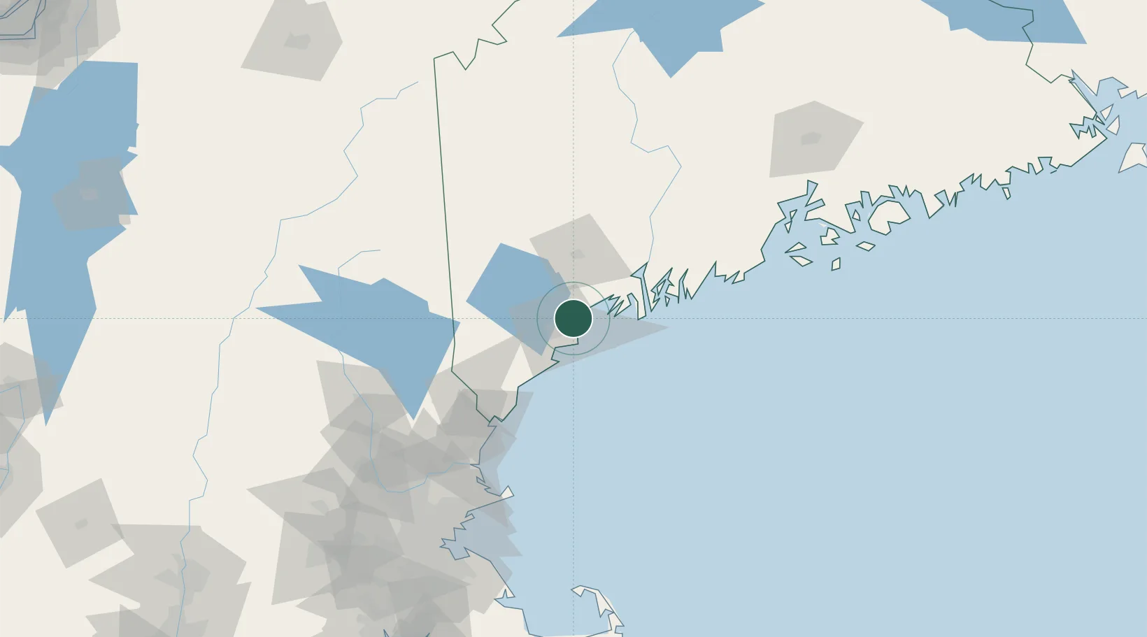
Falmouth
43.7167°, -70.2333°
1,855
Population
2
Transport functions
Transport Functions
Road
Multimodal
Hub Profile
Place type
Populated place
Region
Maine
Population
1,855
Time zone
America/New_York
Elevation
26 m
Location
Nearby Logistics Neighbours
Cities
- 1Portland8 km
- 2North Falmouth10 km
- 3Freeport18 km
- 4Harpswell Center22 km
- 5Old Orchard Beach25 km
Ports
- 1Portland6 km
- 2South Harpswell18 km
- 3Saco30 km
- 4Bath40 km
- 5Kennebunkport43 km
Airports
Trade Zones
- 1FTZ No. 263 Auburn42 km
- 2FTZ No. 081 Portsmouth89 km
- 3FTZ No. 186 Waterville101 km
- 4FTZ No. 058 Bangor166 km
- 5FTZ No. 027 Boston172 km
DatabookThe Record of Consolidated Knowledge
United States beyond logistics?