Small airport · United States
Matinicus Island Airport35ME
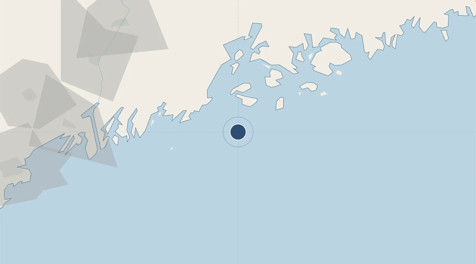
43.8713°, -68.8935°
1,645 ft
Longest runway
1
Runways
15 ft
Elevation
Runway & Layout

Runways · 1
| Runway | Dimensions | Surface | True heading | Lit |
|---|---|---|---|---|
| 18/36 | 1,645 × 30ft | GRAVEL-E | — | — |
Airport Specifications
ICAO code
35ME
Airport class
Small airport
Scheduled service
Yes
Runway surface
GRAVEL-E
Served city
Matinicus Island
Location
Nearby Logistics Neighbours
Airports
- 1Vinalhaven Airport23 km
- 2Knox County Regional Airport27 km
- 3Witherspoons Airport31 km
- 4Islesboro Airport48 km
- 5Hancock County-Bar Harbor Airport77 km
Cities
- 1Spruce Head23 km
- 2Tenants Harbour27 km
- 3Saint George28 km
- 4Friendship37 km
- 5Rockport38 km
Ports
- 1Vinalhaven20 km
- 2North Haven29 km
- 3Rockland30 km
- 4Thomaston32 km
- 5Stonington36 km
Trade Zones
- 1FTZ No. 186 Waterville99 km
- 2FTZ No. 058 Bangor104 km
- 3FTZ No. 263 Auburn108 km
- 4FTZ No. 081 Portsmouth182 km
- 5FTZ No. 027 Boston250 km
DatabookThe Record of Consolidated Knowledge
United States beyond logistics?