Foreign Trade Zone · United States

FTZ No. 027 Boston Active
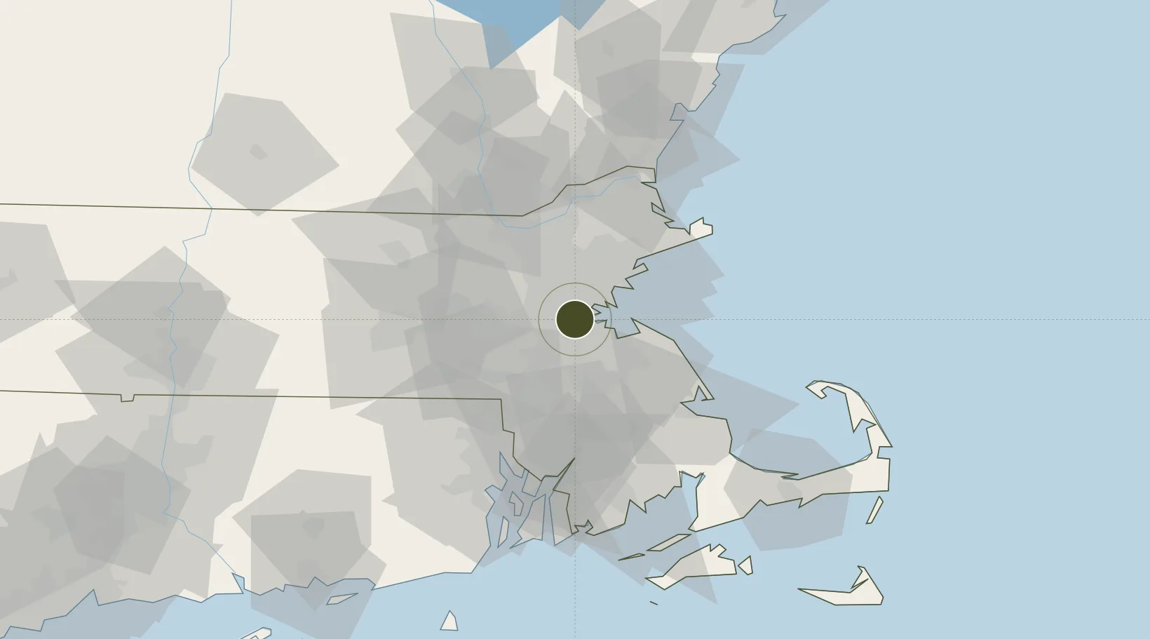
42.3143°, -71.1104°
6.4 km
Nearest port
10.0 km
Nearest airport

Gateway access

Nearest neighbours — logibook spatial index (haversine) over the source coordinates

Zone profile

Zone type
Foreign Trade Zone
Open Zone Map
Region
Massachusetts
Open Zone Map
Status
Active
Open Zone Map
Management
Public
Open Zone Map
Operator
Massachusetts Port Authority
Open Zone Map
Legal framework
Foreign-Trade Zones Act
Open Zone Map

Location

Location of ozm-4768
Natural Earth 10m (public domain) · Massachusetts · ozm-4768 · 42.31, -71.11GoogleOSMYandex

Nearby Logistics Neighbours

Ports
  1. 1Boston6 km
  2. 2Quincy14 km
  3. 3Lynn20 km
  4. 4Salem29 km
  5. 5Marblehead30 km
Nearest neighbours — logibook spatial index (haversine) over the source coordinates
Airports
  1. 1Boston Logan International Airport10 km
  2. 2Norwood Memorial Airport15 km
  3. 3Laurence G Hanscom Field23 km
  4. 4Beverly Regional Airport34 km
  5. 5Lawrence Municipal Airport45 km
Nearest neighbours — logibook spatial index (haversine) over the source coordinates
Cities
  1. 1Dorchester5 km
  2. 2Boston5 km
  3. 3Eliot7 km
  4. 4Newtonville8 km
  5. 5West Newton11 km
Nearest neighbours — logibook spatial index (haversine) over the source coordinates
Trade Zones
  1. 1FTZ No. 105 Providence and North Kingstown62 km
  2. 2FTZ No. 028 New Bedford73 km
  3. 3FTZ No. 081 Portsmouth85 km
  4. 4FTZ No. 201 Holyoke132 km
  5. 5FTZ No. 071 Windsor Locks133 km
Nearest neighbours — logibook spatial index (haversine) over the source coordinates
DatabookThe Record of Consolidated Knowledge
United States beyond logistics?
Browse databook

All Sources

Trade ZonesOpen Zone Map
CC BY
Portsthe NGA World Port Index
Public domain (US gov)
AirportsOurAirports
Public domain
LocationsUN/LOCODE
UN/LOCODE — free
← United States trade zones