Channel & Berth Profile
Pilotage, Tugs & Services
Pilotage availableYES
Tug assistanceNO
Salvage tugsNO
Potable waterYES
Diesel bunkersYES
Facilities & Capabilities
Container—
Ro-Ro—
Liquid bulk—
Dry bulk—
Oil terminal—
Break bulk—
Dry dock—
RepairsNO
BunkeringYES
Rail link—
Dangerous cargo—
ISPS security—
Harbour Specifications
Harbour size
Very Small
Harbour type
River (Natural)
Shelter
Fair
Water body
North Atlantic Ocean
Tidal range
2.7 m
Overhead limit
No
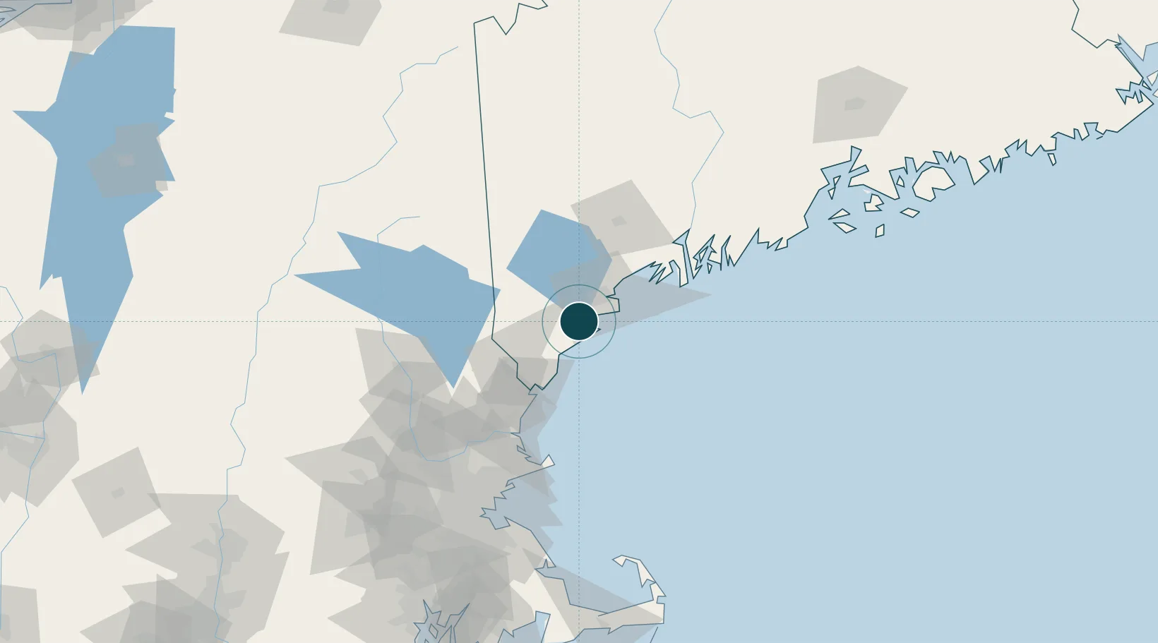
Location
Nearby Logistics Neighbours
Ports
- 1Kennebunkport15 km
- 2Portland25 km
- 3South Harpswell44 km
- 4Portsmouth52 km
- 5Bath69 km
Cities
- 1Old Orchard Beach6 km
- 2Hollis20 km
- 3Alfred22 km
- 4Portland23 km
- 5Springvale29 km
Airports
Trade Zones
- 1FTZ No. 081 Portsmouth59 km
- 2FTZ No. 263 Auburn69 km
- 3FTZ No. 186 Waterville131 km
- 4FTZ No. 027 Boston142 km
- 5FTZ No. 268 Brattleboro188 km
DatabookThe Record of Consolidated Knowledge
United States beyond logistics?