UN/LOCODE hub · United States
USPWM
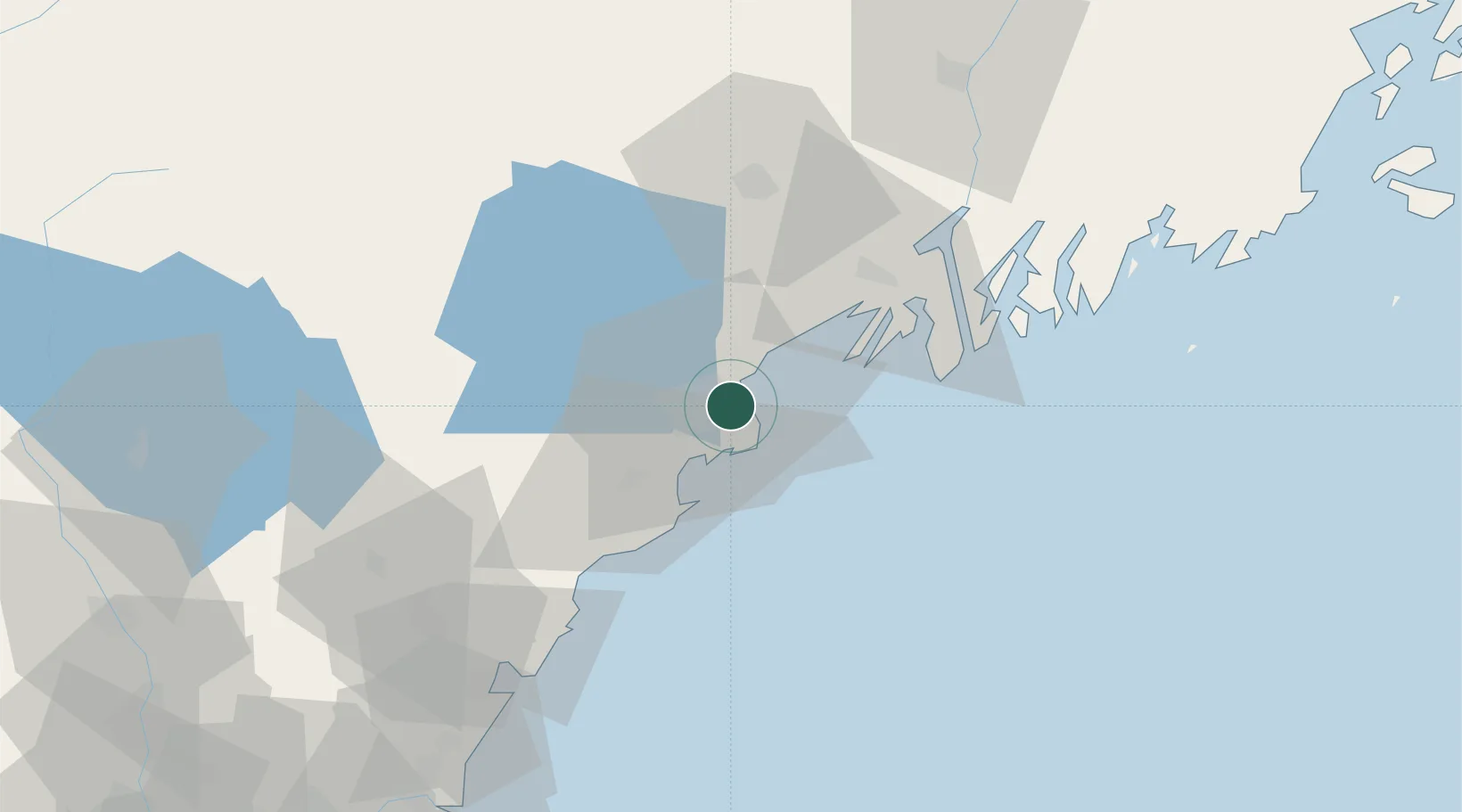
Portland
43.6475°, -70.2583°
66,881
Population
2
Transport functions
1
Container terminals
Transport Functions
Port
Airport
Hub Profile
Place type
Provincial seat
Region
Maine
Population
66,881
Time zone
America/New_York
Elevation
19 m
Logistics facilities
3
Container terminals
1
Location
Nearby Logistics Neighbours
Cities
- 1Falmouth8 km
- 2North Falmouth15 km
- 3Old Orchard Beach18 km
- 4Saco19 km
- 5Freeport26 km
Ports
- 1South Harpswell22 km
- 2Saco23 km
- 3Kennebunkport36 km
- 4Bath46 km
- 5Boothbay Harbor59 km
Airports
Trade Zones
- 1FTZ No. 263 Auburn50 km
- 2FTZ No. 081 Portsmouth81 km
- 3FTZ No. 186 Waterville109 km
- 4FTZ No. 027 Boston164 km
- 5FTZ No. 058 Bangor173 km
DatabookThe Record of Consolidated Knowledge
United States beyond logistics?