UN/LOCODE hub · United States
USHP4
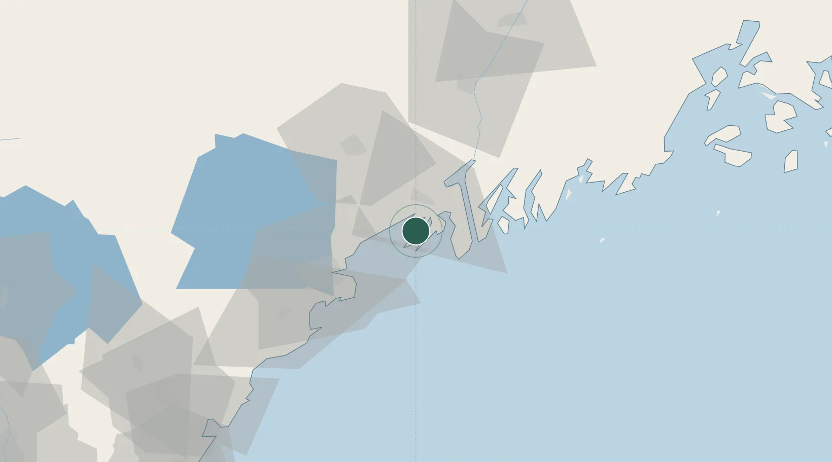
Harpswell Center
43.8000°, -69.9833°
5,281
Population
2
Transport functions
Transport Functions
Road
Multimodal
Hub Profile
Place type
Populated place
Region
Maine
Population
5,281
Time zone
America/New_York
Elevation
39 m
Location
Nearby Logistics Neighbours
Cities
- 1Freeport11 km
- 2Bath17 km
- 3Falmouth22 km
- 4Lisbon Falls23 km
- 5Lisbon28 km
Ports
- 1Bath19 km
- 2Portland26 km
- 3Boothbay Harbor33 km
- 4South Bristol36 km
- 5Saco50 km
Airports
Trade Zones
- 1FTZ No. 263 Auburn38 km
- 2FTZ No. 186 Waterville86 km
- 3FTZ No. 081 Portsmouth108 km
- 4FTZ No. 058 Bangor146 km
- 5FTZ No. 027 Boston189 km
DatabookThe Record of Consolidated Knowledge
United States beyond logistics?