Channel & Berth Profile
Pilotage, Tugs & Services
Pilotage compulsoryNO
Tug assistanceNO
Salvage tugsNO
Potable waterYES
Diesel bunkersYES
Facilities & Capabilities
Container—
Ro-Ro—
Liquid bulk—
Dry bulk—
Oil terminal—
Break bulk—
Dry dock—
RepairsNO
Bunkering—
Rail link—
Dangerous cargo—
ISPS security—
Harbour Specifications
Harbour size
Very Small
Harbour type
Coastal (Natural)
Shelter
Fair
Water body
North Atlantic Ocean
Tidal range
2.7 m
Overhead limit
No
Pilotage
No
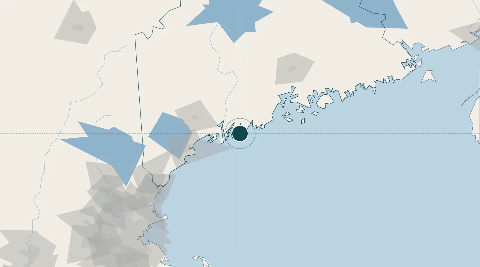
Location
Nearby Logistics Neighbours
Ports
- 1Boothbay Harbor3 km
- 2Friendship21 km
- 3Bath22 km
- 4Thomaston37 km
- 5South Harpswell40 km
Cities
- 1Boothbay Harbor7 km
- 2Newcastle19 km
- 3Friendship22 km
- 4Bath22 km
- 5Dresden27 km
Airports
- 1Brunswick Executive Airport31 km
- 2Knox County Regional Airport42 km
- 3Matinicus Island Airport53 km
- 4Augusta State Airport54 km
- 5Witherspoons Airport63 km
Trade Zones
- 1FTZ No. 263 Auburn59 km
- 2FTZ No. 186 Waterville76 km
- 3FTZ No. 058 Bangor120 km
- 4FTZ No. 081 Portsmouth138 km
- 5FTZ No. 027 Boston214 km
DatabookThe Record of Consolidated Knowledge
United States beyond logistics?