Channel & Berth Profile
Pilotage, Tugs & Services
Pilotage compulsoryNO
Pilotage availableNO
Tug assistanceYES
Salvage tugsNO
Potable waterYES
Diesel bunkersYES
Facilities & Capabilities
Container—
Ro-Ro—
Liquid bulk—
Dry bulk—
Oil terminal—
Break bulk—
Dry dock—
RepairsNO
Bunkering—
Rail link—
Dangerous cargo—
ISPS security—
Harbour Specifications
Harbour size
Very Small
Harbour type
Coastal (Natural)
Shelter
Fair
Water body
North Atlantic Ocean
Tidal range
2.7 m
Overhead limit
No
Pilotage
No
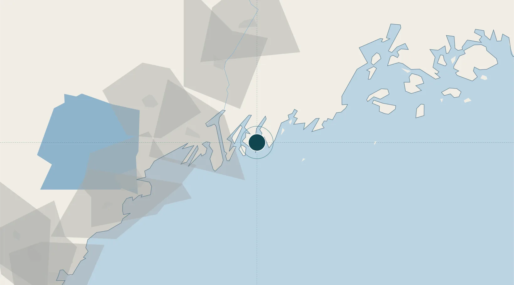
Location
Nearby Logistics Neighbours
Ports
- 1South Bristol3 km
- 2Bath20 km
- 3Friendship23 km
- 4South Harpswell38 km
- 5Thomaston39 km
Cities
- 1Newcastle19 km
- 2Bath19 km
- 3Friendship24 km
- 4Dresden26 km
- 5Tenants Harbour31 km
Airports
Trade Zones
- 1FTZ No. 263 Auburn56 km
- 2FTZ No. 186 Waterville76 km
- 3FTZ No. 058 Bangor121 km
- 4FTZ No. 081 Portsmouth136 km
- 5FTZ No. 027 Boston213 km
DatabookThe Record of Consolidated Knowledge
United States beyond logistics?