Foreign Trade Zone · United States

FTZ No. 186 Waterville Active
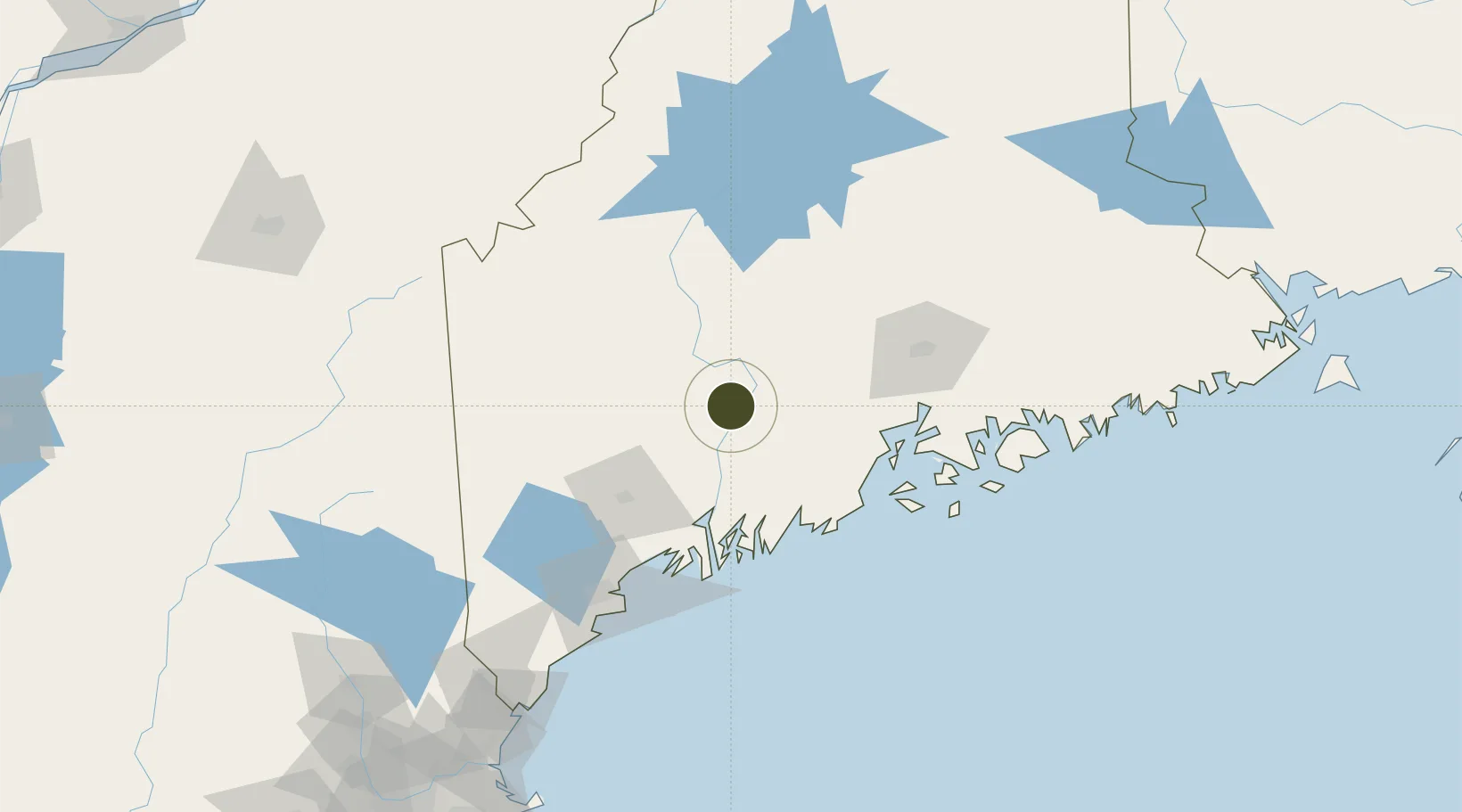
44.5433°, -69.7000°
25.8 km
Nearest port
25.9 km
Nearest airport

Gateway access

Nearest neighbours — logibook spatial index (haversine) over the source coordinates

Zone profile

Zone type
Foreign Trade Zone
Open Zone Map
Region
Maine
Open Zone Map
Status
Active
Open Zone Map
Management
Public
Open Zone Map
Operator
Central Maine Growth Council and the City of Waterville
Open Zone Map
Legal framework
Foreign-Trade Zones Act
Open Zone Map

Location

Location of ozm-4814
Natural Earth 10m (public domain) · Maine · ozm-4814 · 44.54, -69.70GoogleOSMYandex

Nearby Logistics Neighbours

Ports
  1. 1Augusta26 km
  2. 2Gardiner35 km
  3. 3Belfast57 km
  4. 4Camden62 km
  5. 5Searsport63 km
Nearest neighbours — logibook spatial index (haversine) over the source coordinates
Airports
  1. 1Augusta State Airport26 km
  2. 2Islesboro Airport68 km
  3. 3Knox County Regional Airport72 km
  4. 4Brunswick Executive Airport75 km
  5. 5Bangor International Airport75 km
Nearest neighbours — logibook spatial index (haversine) over the source coordinates
Cities
  1. 1North Vassalboro9 km
  2. 2Fairfield10 km
  3. 3Vassalboro11 km
  4. 4Burnham26 km
  5. 5Windsor29 km
Nearest neighbours — logibook spatial index (haversine) over the source coordinates
Trade Zones
  1. 1FTZ No. 263 Auburn64 km
  2. 2FTZ No. 058 Bangor76 km
  3. 3FTZ No. 081 Portsmouth189 km
  4. 4FTZ No. 027 Boston273 km
  5. 5Québec City FTZ281 km
Nearest neighbours — logibook spatial index (haversine) over the source coordinates
DatabookThe Record of Consolidated Knowledge
United States beyond logistics?
Browse databook

All Sources

Trade ZonesOpen Zone Map
CC BY
Portsthe NGA World Port Index
Public domain (US gov)
AirportsOurAirports
Public domain
LocationsUN/LOCODE
UN/LOCODE — free
← United States trade zones