Channel & Berth Profile
Pilotage, Tugs & Services
Pilotage compulsoryYES
Pilotage advisableYES
Tug assistanceYES
Salvage tugsNO
Potable waterYES
Diesel bunkersYES
MedicalYES
Facilities & Capabilities
Container—
Ro-Ro—
Liquid bulk—
Dry bulk—
Oil terminal—
Break bulk—
Dry dockNO
RepairsNO
BunkeringYES
Rail linkYES
Dangerous cargo—
ISPS security—
Harbour Specifications
Harbour size
Small
Harbour type
River (Natural)
Shelter
Good
Water body
North Atlantic Ocean
Tidal range
1.8 m
Overhead limit
No
Pilotage
Yes
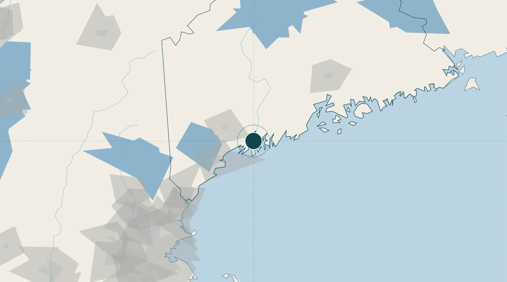
Location
Nearby Logistics Neighbours
Ports
- 1Boothbay Harbor20 km
- 2South Bristol22 km
- 3South Harpswell26 km
- 4Gardiner35 km
- 5Friendship39 km
Cities
- 1Boothbay Harbor17 km
- 2Dresden18 km
- 3Harpswell Center19 km
- 4Lisbon Falls22 km
- 5Freeport24 km
Airports
Trade Zones
- 1FTZ No. 263 Auburn37 km
- 2FTZ No. 186 Waterville70 km
- 3FTZ No. 081 Portsmouth127 km
- 4FTZ No. 058 Bangor127 km
- 5FTZ No. 027 Boston207 km
DatabookThe Record of Consolidated Knowledge
United States beyond logistics?