Foreign Trade Zone · United States

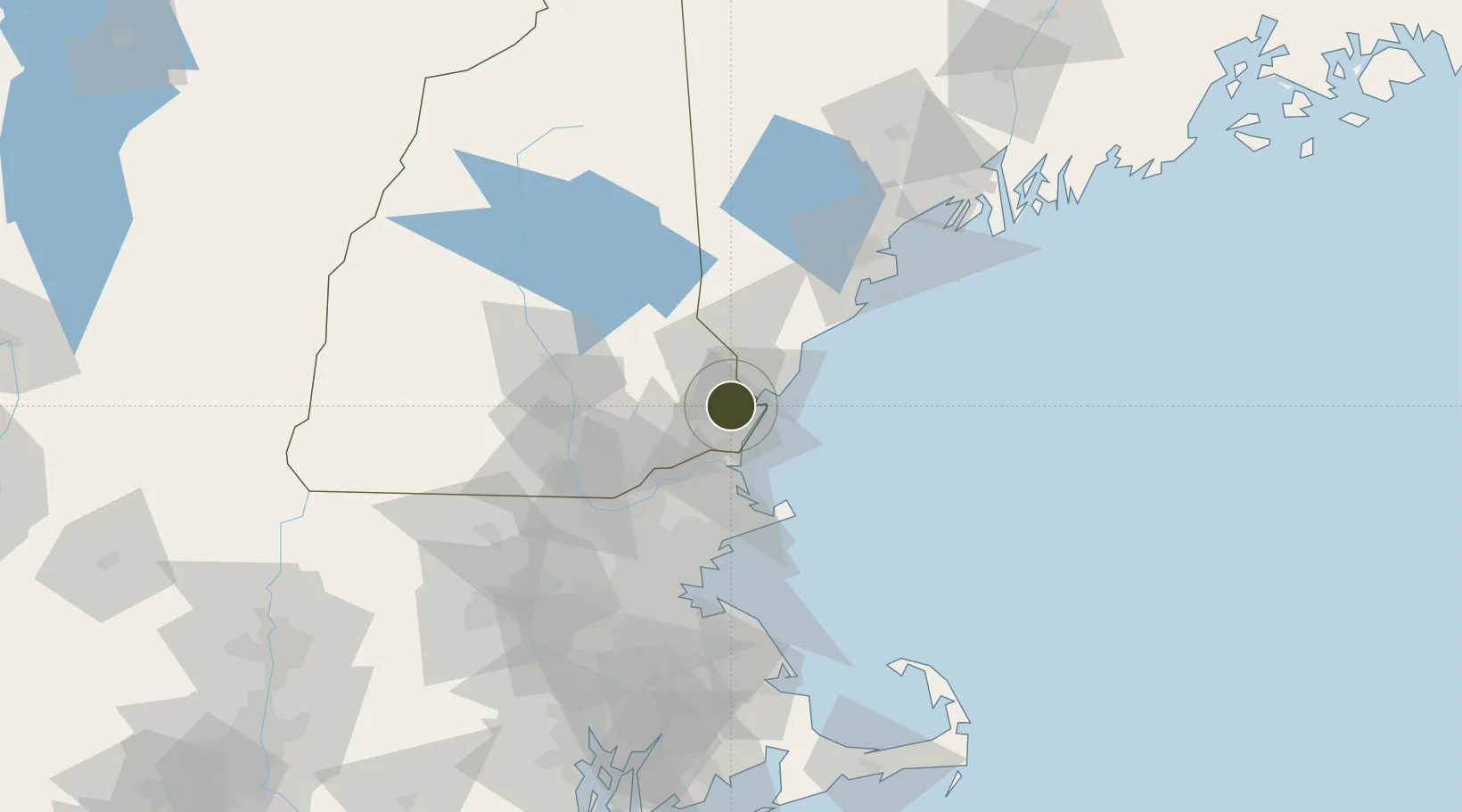
FTZ No. 081 Portsmouth Active

43.0566°, -70.8455°
8.3 km
Nearest port
3.0 km
Nearest airport

Gateway access

Nearest neighbours — logibook spatial index (haversine) over the source coordinates

Zone profile

Zone type
Foreign Trade Zone
Open Zone Map
Region
New Hampshire
Open Zone Map
Status
Active
Open Zone Map
Management
Public
Open Zone Map
Operator
Pease Development Authority, Division of Ports and Harbors
Open Zone Map
Legal framework
Foreign-Trade Zones Act
Open Zone Map

Location

Location of ozm-4767
Natural Earth 10m (public domain) · New Hampshire · ozm-4767 · 43.06, -70.85GoogleOSMYandex

Nearby Logistics Neighbours

Ports
  1. 1Portsmouth8 km
  2. 2Newburyport27 km
  3. 3Kennebunkport46 km
  4. 4Rockport47 km
  5. 5Beverly58 km
Nearest neighbours — logibook spatial index (haversine) over the source coordinates
Airports
  1. 1Portsmouth International Airport at Pease3 km
  2. 2Lawrence Municipal Airport44 km
  3. 3Manchester-Boston Regional Airport50 km
  4. 4Beverly Regional Airport53 km
  5. 5Concord Municipal Airport56 km
Nearest neighbours — logibook spatial index (haversine) over the source coordinates
Cities
  1. 1Newington5 km
  2. 2Newfields8 km
  3. 3Kittery10 km
  4. 4North Hampton10 km
  5. 5Durham10 km
Nearest neighbours — logibook spatial index (haversine) over the source coordinates
Trade Zones
  1. 1FTZ No. 027 Boston85 km
  2. 2FTZ No. 263 Auburn126 km
  3. 3FTZ No. 268 Brattleboro145 km
  4. 4FTZ No. 105 Providence and North Kingstown147 km
  5. 5FTZ No. 028 New Bedford155 km
Nearest neighbours — logibook spatial index (haversine) over the source coordinates
DatabookThe Record of Consolidated Knowledge
United States beyond logistics?
Browse databook

All Sources

Trade ZonesOpen Zone Map
CC BY
Portsthe NGA World Port Index
Public domain (US gov)
AirportsOurAirports
Public domain
LocationsUN/LOCODE
UN/LOCODE — free
← United States trade zones