UN/LOCODE hub · United States
USND2

Englewood Yard

29.7833°, -95.3000°
1
Transport functions

Transport Functions

Rail
UN/LOCODE

Hub Profile

Region
TX
GeoNames

Location

Location of USND2
Natural Earth 10m (public domain) · TX · USND2 · 29.78, -95.30GoogleOSMYandex

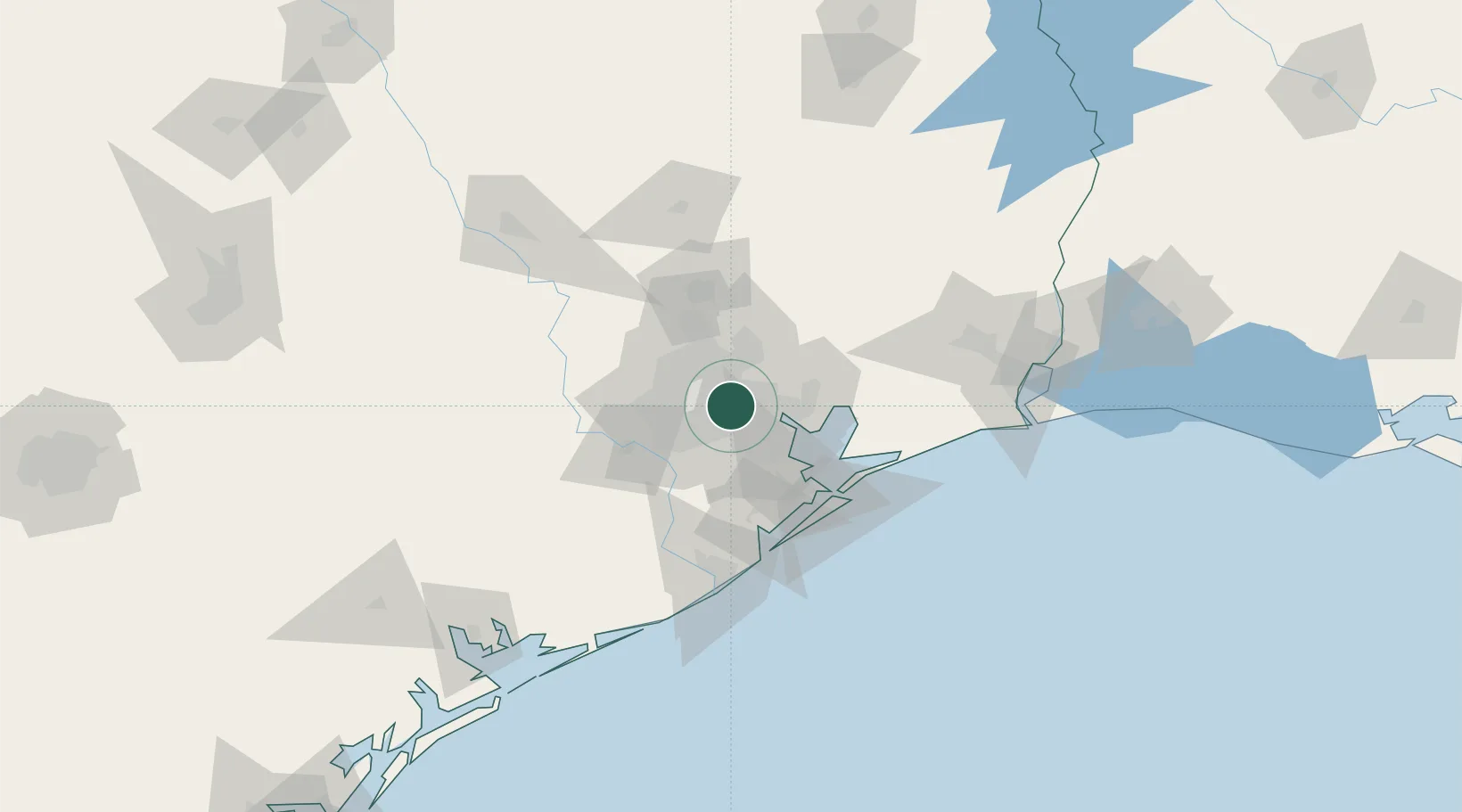
Nearby Logistics Neighbours

Cities
  1. 1Houston6 km
  2. 2Jacinto City7 km
  3. 3South Houston16 km
  4. 4Spring Valley19 km
  5. 5Pasadena22 km
Nearest neighbours — logibook spatial index (haversine) over the source coordinates
Ports
  1. 1Houston4 km
  2. 2Deer Park5 km
  3. 3Pasadena11 km
  4. 4Baytown28 km
  5. 5Texas City58 km
Nearest neighbours — logibook spatial index (haversine) over the source coordinates
Airports
  1. 1William P. Hobby Airport16 km
  2. 2George Bush Intercontinental Airport23 km
  3. 3Ellington Airport24 km
  4. 4Sugar Land Regional Airport39 km
  5. 5Conroe-North Houston Regional Airport64 km
Nearest neighbours — logibook spatial index (haversine) over the source coordinates
Trade Zones
  1. 1FTZ No. 084 Harris County2 km
  2. 2FTZ No. 171 Liberty County50 km
  3. 3FTZ No. 199 Texas City57 km
  4. 4FTZ No. 036 Galveston72 km
  5. 5FTZ No. 149 Freeport94 km
Nearest neighbours — logibook spatial index (haversine) over the source coordinates
DatabookThe Record of Consolidated Knowledge
United States beyond logistics?
Browse databook

All Sources

LocationsUN/LOCODE
UN/LOCODE — free
Portsthe NGA World Port Index
Public domain (US gov)
AirportsOurAirports
Public domain
Trade Zonesthe World Bank SEZ database
CC BY 4.0
Trade ZonesOpen Zone Map
CC BY
← United States locations