UN/LOCODE hub · United States
USHOU
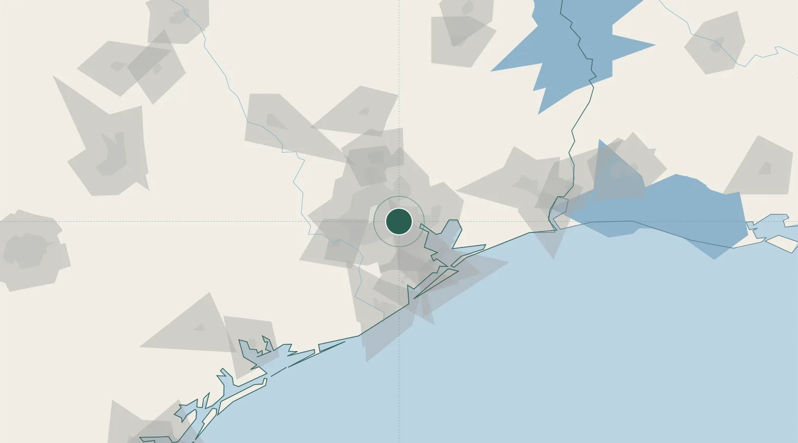
Houston
29.7684°, -95.2462°
2,314,157
Population
4
Transport functions
3
Container terminals
Transport Functions
Port
Road
Airport
Postal
Hub Profile
Place type
Provincial seat
Region
Texas
Population
2,314,157
Time zone
America/Chicago
Elevation
12 m
Logistics facilities
206
Container terminals
3
Location
Nearby Logistics Neighbours
Cities
- 1Jacinto City1 km
- 2Englewood Yard6 km
- 3South Houston13 km
- 4Pasadena17 km
- 5Highlands19 km
Ports
- 1Pasadena6 km
- 2Deer Park9 km
- 3Baytown23 km
- 4Texas City53 km
- 5Galveston67 km
Airports
Trade Zones
- 1FTZ No. 084 Harris County7 km
- 2FTZ No. 171 Liberty County49 km
- 3FTZ No. 199 Texas City52 km
- 4FTZ No. 036 Galveston67 km
- 5FTZ No. 149 Freeport94 km
DatabookThe Record of Consolidated Knowledge
United States beyond logistics?