UN/LOCODE hub · United States
USGTX
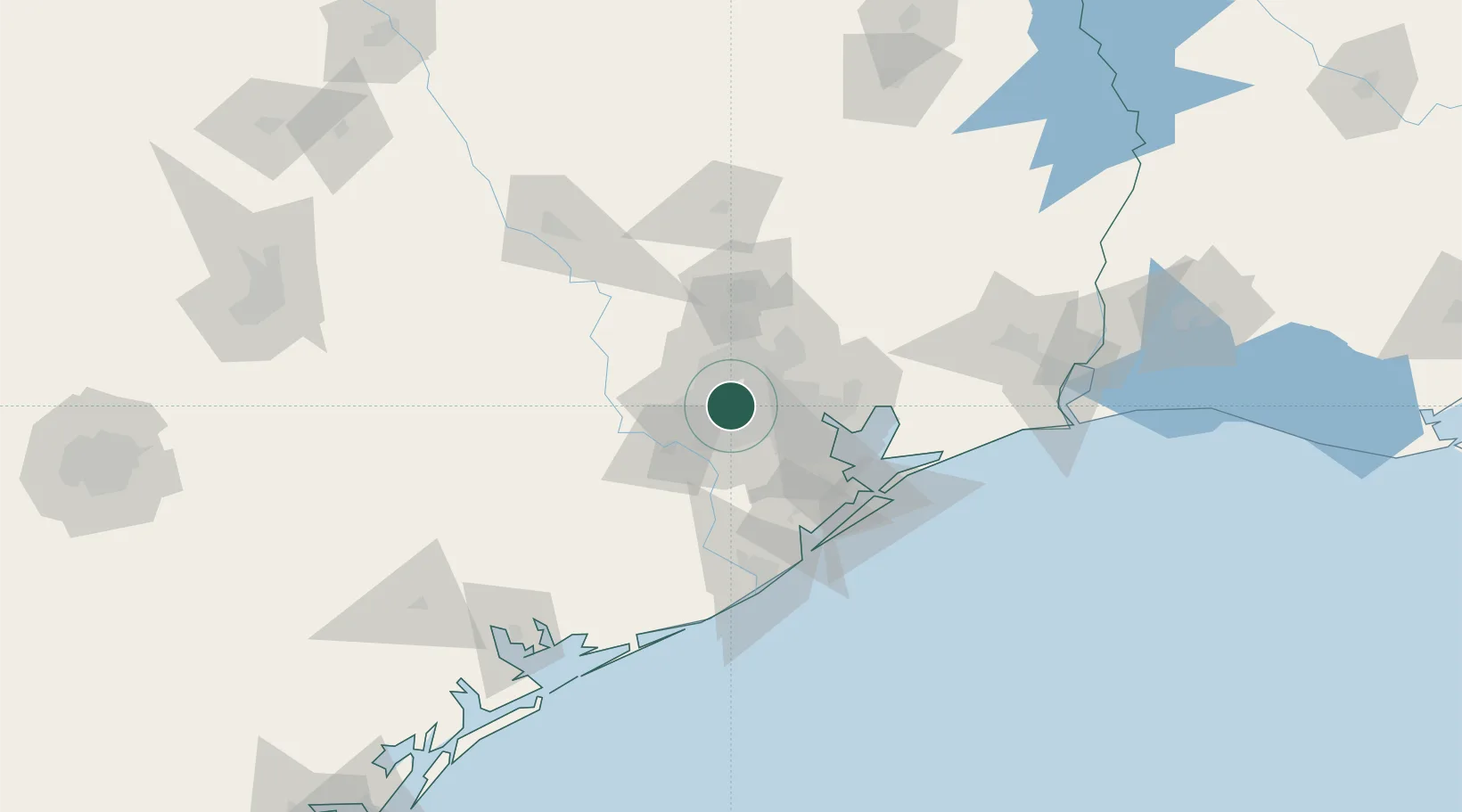
Spring Valley
29.7833°, -95.5000°
3,611
Population
1
Transport functions
Transport Functions
Multimodal
Hub Profile
Place type
Urban district
Region
Texas
Population
3,611
Time zone
America/Chicago
Elevation
22 m
Location
Nearby Logistics Neighbours
Cities
- 1North Houston15 km
- 2Englewood Yard19 km
- 3Missouri City20 km
- 4Sugar Land24 km
- 5Houston25 km
Ports
- 1Deer Park17 km
- 2Houston21 km
- 3Pasadena28 km
- 4Baytown47 km
- 5Texas City72 km
Airports
Trade Zones
- 1FTZ No. 084 Harris County19 km
- 2FTZ No. 171 Liberty County60 km
- 3FTZ No. 199 Texas City71 km
- 4FTZ No. 036 Galveston86 km
- 5FTZ No. 149 Freeport94 km
DatabookThe Record of Consolidated Knowledge
United States beyond logistics?