Medium airport · United States
Lakefront AirportKNEW
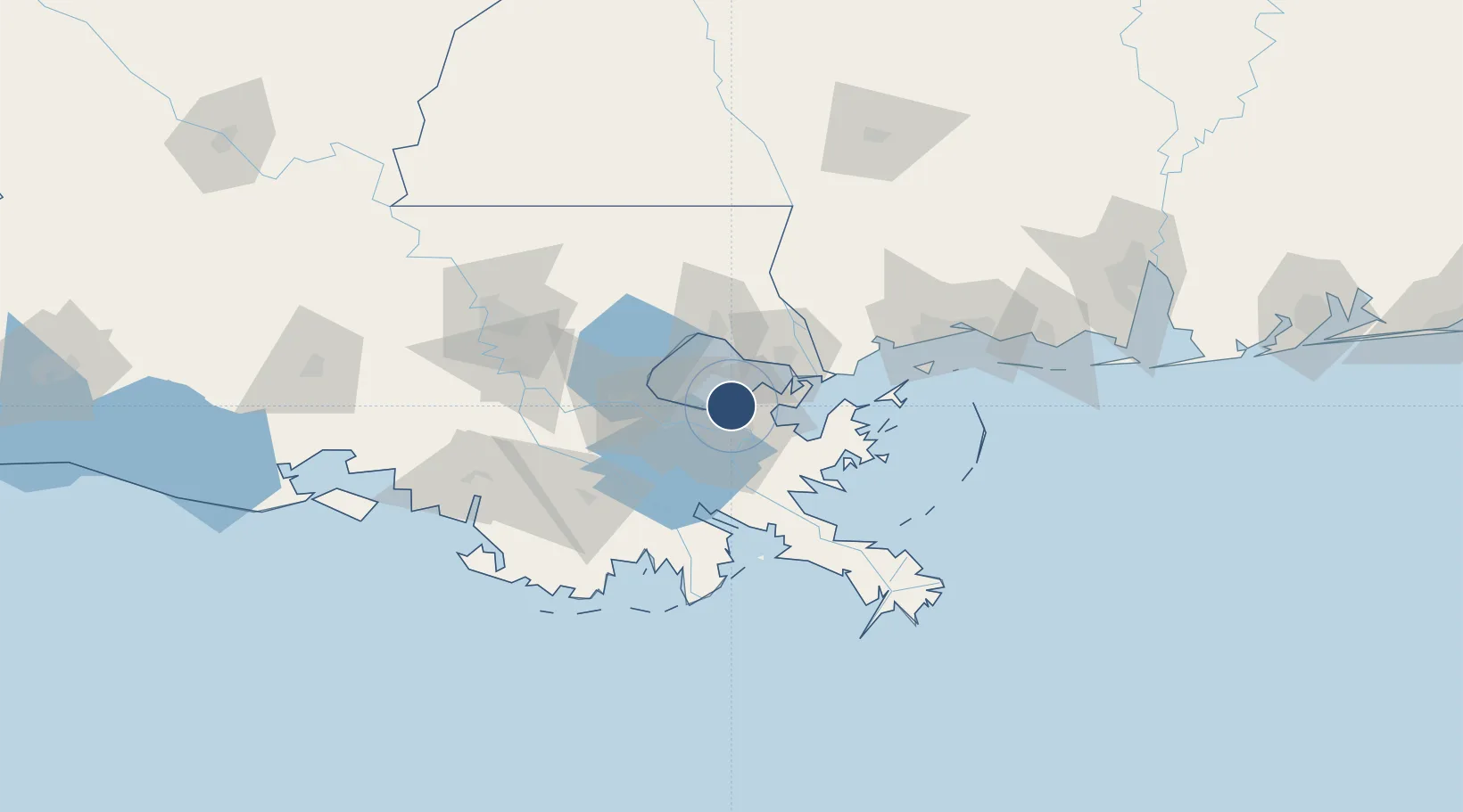
30.0424°, -90.0283°
6,879 ft
Longest runway
3
Runways
8 ft
Elevation
Runway & Layout

Radio Frequencies
ATIS
124.9 MHz
TWR
118.95 MHz
GND
121.7 MHz
CLD
127.4 MHz
CLNC DEL
CTAF
118.95 MHz
A/D
123.85 MHz
NEW ORLEANS APP/DEP
OPS
141.35 MHz
ARNG OPS
RDO
122.6 MHz
DE RIDDER RDO
UNIC
122.95 MHz
UNICOM
Runways · 3
| Runway | Dimensions | Surface | True heading | Lit |
|---|---|---|---|---|
| 18R/36L | 6,879 × 150ft | Asphalt | 179° | ✓ |
| 18L/36R | 3,697 × 75ft | Asphalt | 179° | ✓ |
| 09/27 | 3,114 × 75ft | Asphalt | 089° | ✓ |
Airport Specifications
IATA code
NEW
ICAO code
KNEW
Airport class
Medium airport
Scheduled service
No
Runway surface
Asphalt
Served city
New Orleans
Location
Nearby Logistics Neighbours
Airports
Cities
- 1Destrehan5 km
- 2New Orleans9 km
- 3Terrytown16 km
- 4Meraux17 km
- 5Marrero17 km
Ports
- 1New Orleans11 km
- 2Gretna15 km
- 3St Rose30 km
- 4Destrehan34 km
- 5Slidell34 km
Trade Zones
- 1FTZ No. 002 New Orleans12 km
- 2FTZ No. 124 Gramercy66 km
- 3FTZ No. 092 Harrison County110 km
- 4FTZ No. 154 Baton Rouge126 km
- 5FTZ No. 155 Calhoun Victoria Counties126 km
DatabookThe Record of Consolidated Knowledge
United States beyond logistics?