UN/LOCODE hub · United States
USTST

Stennis Space Center

30.3667°, -89.6167°
2
Transport functions

Transport Functions

Road
Multimodal
UN/LOCODE

Hub Profile

Region
MS
GeoNames

Location

Location of USTST
Natural Earth 10m (public domain) · MS · USTST · 30.37, -89.62GoogleOSMYandex

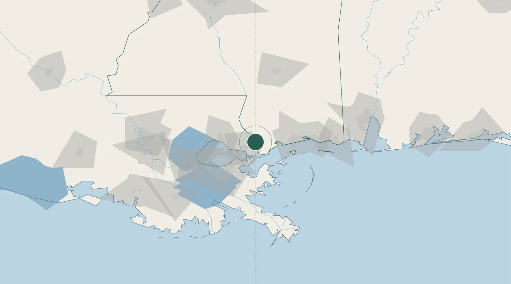
Nearby Logistics Neighbours

Cities
  1. 1Lacombe31 km
  2. 2Bush38 km
  3. 3Long Beach45 km
  4. 4Covington48 km
  5. 5Gulfport50 km
Nearest neighbours — logibook spatial index (haversine) over the source coordinates
Ports
  1. 1Slidell20 km
  2. 2Gulfport51 km
  3. 3Madisonville51 km
  4. 4New Orleans62 km
  5. 5Gretna66 km
Nearest neighbours — logibook spatial index (haversine) over the source coordinates
Airports
  1. 1Gulfport Biloxi International Airport53 km
  2. 2Lakefront Airport54 km
  3. 3Keesler Air Force Base67 km
  4. 4New Orleans NAS JRB/Alvin Callender Field72 km
  5. 5Louis Armstrong New Orleans International Airport75 km
Nearest neighbours — logibook spatial index (haversine) over the source coordinates
Trade Zones
  1. 1FTZ No. 092 Harrison County62 km
  2. 2FTZ No. 002 New Orleans64 km
  3. 3FTZ No. 124 Gramercy111 km
  4. 4FTZ No. 082 Mobile151 km
  5. 5FTZ No. 154 Baton Rouge157 km
Nearest neighbours — logibook spatial index (haversine) over the source coordinates
DatabookThe Record of Consolidated Knowledge
United States beyond logistics?
Browse databook

All Sources

LocationsUN/LOCODE
UN/LOCODE — free
Portsthe NGA World Port Index
Public domain (US gov)
AirportsOurAirports
Public domain
Trade Zonesthe World Bank SEZ database
CC BY 4.0
Trade ZonesOpen Zone Map
CC BY
← United States locations