Channel & Berth Profile
Pilotage, Tugs & Services
Pilotage compulsoryNO
Shore powerYES
Potable waterYES
Diesel bunkersYES
MedicalYES
Facilities & Capabilities
Container—
Ro-Ro—
Liquid bulk—
Dry bulk—
Oil terminal—
Break bulk—
Dry dockNO
RepairsNO
BunkeringYES
Rail linkYES
Dangerous cargo—
ISPS security—
Harbour Specifications
Harbour size
Very Small
Harbour type
River (Natural)
Shelter
Excellent
Water body
Gulf of Mexico; North Atlantic Ocean
Overhead limit
Yes
Pilotage
No
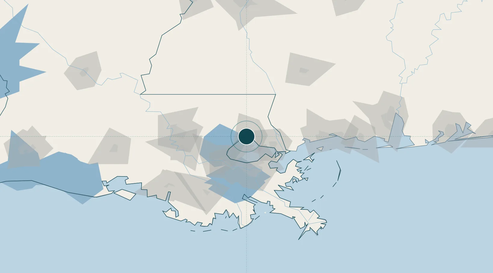
Location
Nearby Logistics Neighbours
Ports
- 1Slidell38 km
- 2New Orleans51 km
- 3St Rose53 km
- 4Destrehan54 km
- 5Gretna54 km
Cities
- 1Covington9 km
- 2Lacombe24 km
- 3Bush33 km
- 4Independence42 km
- 5Destrehan47 km
Airports
Trade Zones
- 1FTZ No. 002 New Orleans52 km
- 2FTZ No. 124 Gramercy66 km
- 3FTZ No. 154 Baton Rouge106 km
- 4FTZ No. 155 Calhoun Victoria Counties106 km
- 5FTZ No. 092 Harrison County113 km
DatabookThe Record of Consolidated Knowledge
United States beyond logistics?