UN/LOCODE hub · United States
USGPT
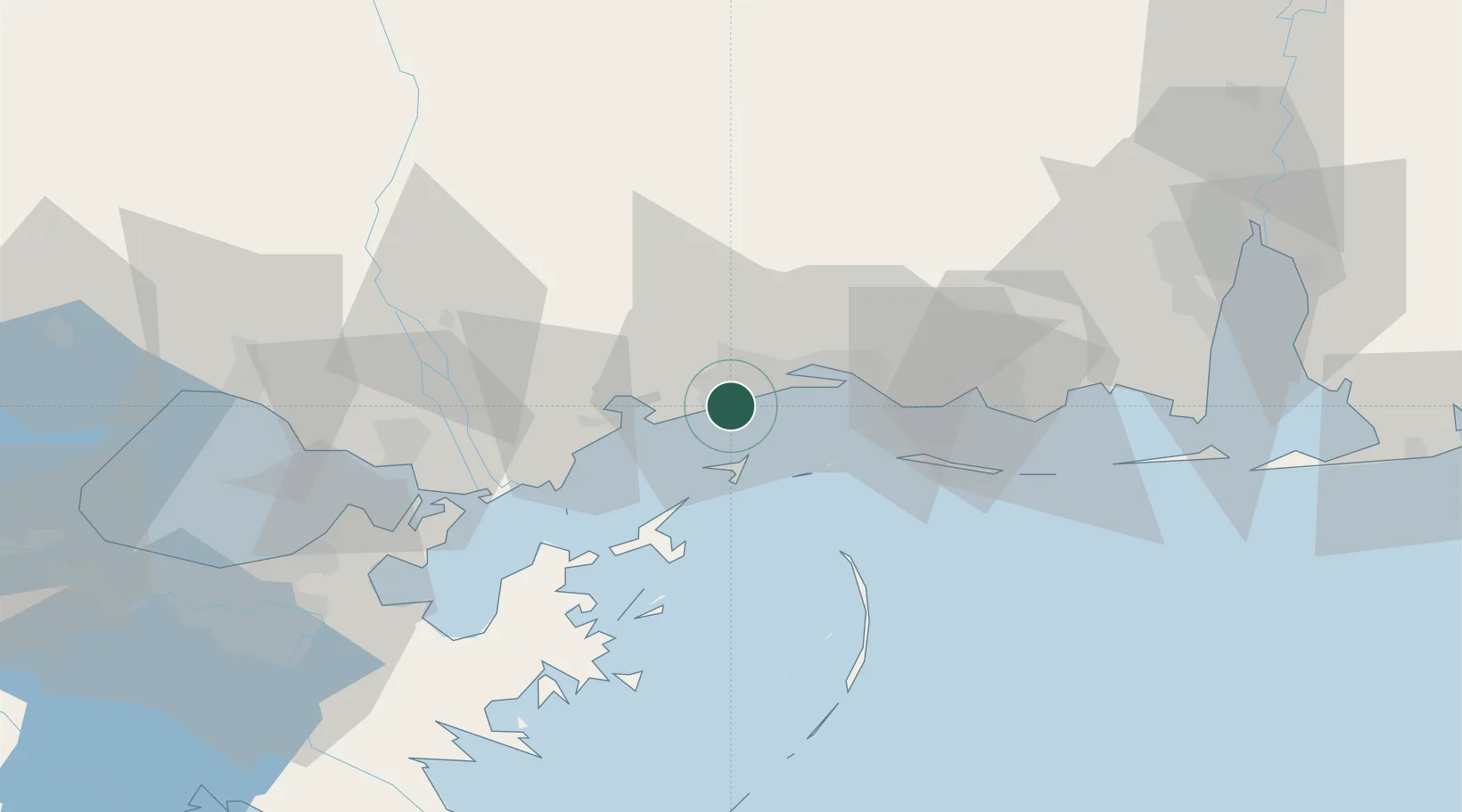
Gulfport
30.3563°, -89.0952°
71,856
Population
2
Transport functions
1
Container terminals
Transport Functions
Port
Airport
Hub Profile
Place type
Populated place
Region
Mississippi
Population
71,856
Time zone
America/Chicago
Elevation
6 m
Logistics facilities
3
Container terminals
1
Location
Nearby Logistics Neighbours
Cities
- 1Long Beach5 km
- 2Ship Island22 km
- 3Ocean Springs26 km
- 4Gautier46 km
- 5Stennis Space Center50 km
Ports
- 1Biloxi21 km
- 2Pascagoula51 km
- 3Slidell67 km
- 4Mobile101 km
- 5Madisonville101 km
Airports
Trade Zones
- 1FTZ No. 092 Harrison County14 km
- 2FTZ No. 082 Mobile103 km
- 3FTZ No. 002 New Orleans104 km
- 4FTZ No. 124 Gramercy159 km
- 5FTZ No. 249 Pensacola176 km
DatabookThe Record of Consolidated Knowledge
United States beyond logistics?