Transport Functions
Port
Road
Multimodal
Hub Profile
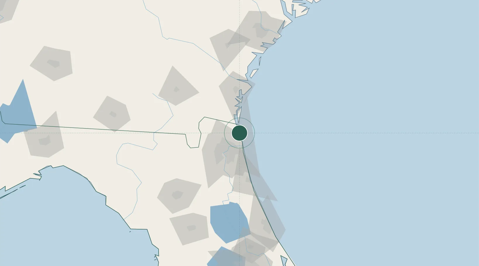
Place type
Populated place
Region
Florida
Time zone
America/New_York
Elevation
5 m
Location
Nearby Logistics Neighbours
Cities
- 1Fernandina Beach11 km
- 2Blount Island21 km
- 3Kings Bay25 km
- 4Jacksonville30 km
- 5Kingsland32 km
Ports
- 1Fernandina Beach11 km
- 2Mayport20 km
- 3Jacksonville35 km
- 4Brunswick63 km
- 5St Augustine77 km
Airports
Trade Zones
- 1FTZ No. 064 Jacksonville56 km
- 2FTZ No. 144 Brunswick64 km
- 3FTZ No. 104 Savannah171 km
- 4FTZ No. 198 Volusia County174 km
- 5FTZ No. 250 Seminole County205 km
DatabookThe Record of Consolidated Knowledge
United States beyond logistics?