UN/LOCODE hub · United States
USBI8

Blount Island

30.4000°, -81.5167°
2
Transport functions

Transport Functions

Port
Road
UN/LOCODE

Hub Profile

Region
FL
GeoNames

Location

Location of USBI8
Natural Earth 10m (public domain) · FL · USBI8 · 30.40, -81.52GoogleOSMYandex

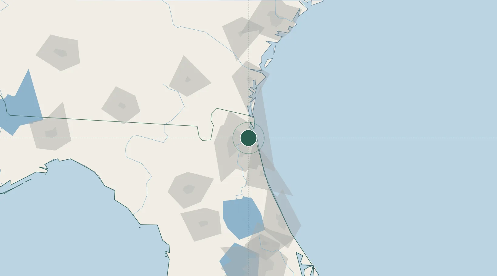
Nearby Logistics Neighbours

Cities
  1. 1Jacksonville13 km
  2. 2Amelia City21 km
  3. 3Marietta27 km
  4. 4Fernandina Beach31 km
  5. 5Callahan36 km
Nearest neighbours — logibook spatial index (haversine) over the source coordinates
Ports
  1. 1Mayport8 km
  2. 2Jacksonville16 km
  3. 3Fernandina Beach32 km
  4. 4St Augustine59 km
  5. 5Brunswick83 km
Nearest neighbours — logibook spatial index (haversine) over the source coordinates
Trade Zones
  1. 1FTZ No. 064 Jacksonville43 km
  2. 2FTZ No. 144 Brunswick84 km
  3. 3FTZ No. 198 Volusia County153 km
  4. 4FTZ No. 250 Seminole County185 km
  5. 5FTZ No. 104 Savannah192 km
Nearest neighbours — logibook spatial index (haversine) over the source coordinates
DatabookThe Record of Consolidated Knowledge
United States beyond logistics?
Browse databook

All Sources

LocationsUN/LOCODE
UN/LOCODE — free
Portsthe NGA World Port Index
Public domain (US gov)
AirportsOurAirports
Public domain
Trade Zonesthe World Bank SEZ database
CC BY 4.0
Trade ZonesOpen Zone Map
CC BY
← United States locations