UN/LOCODE hub · United States
USFEB
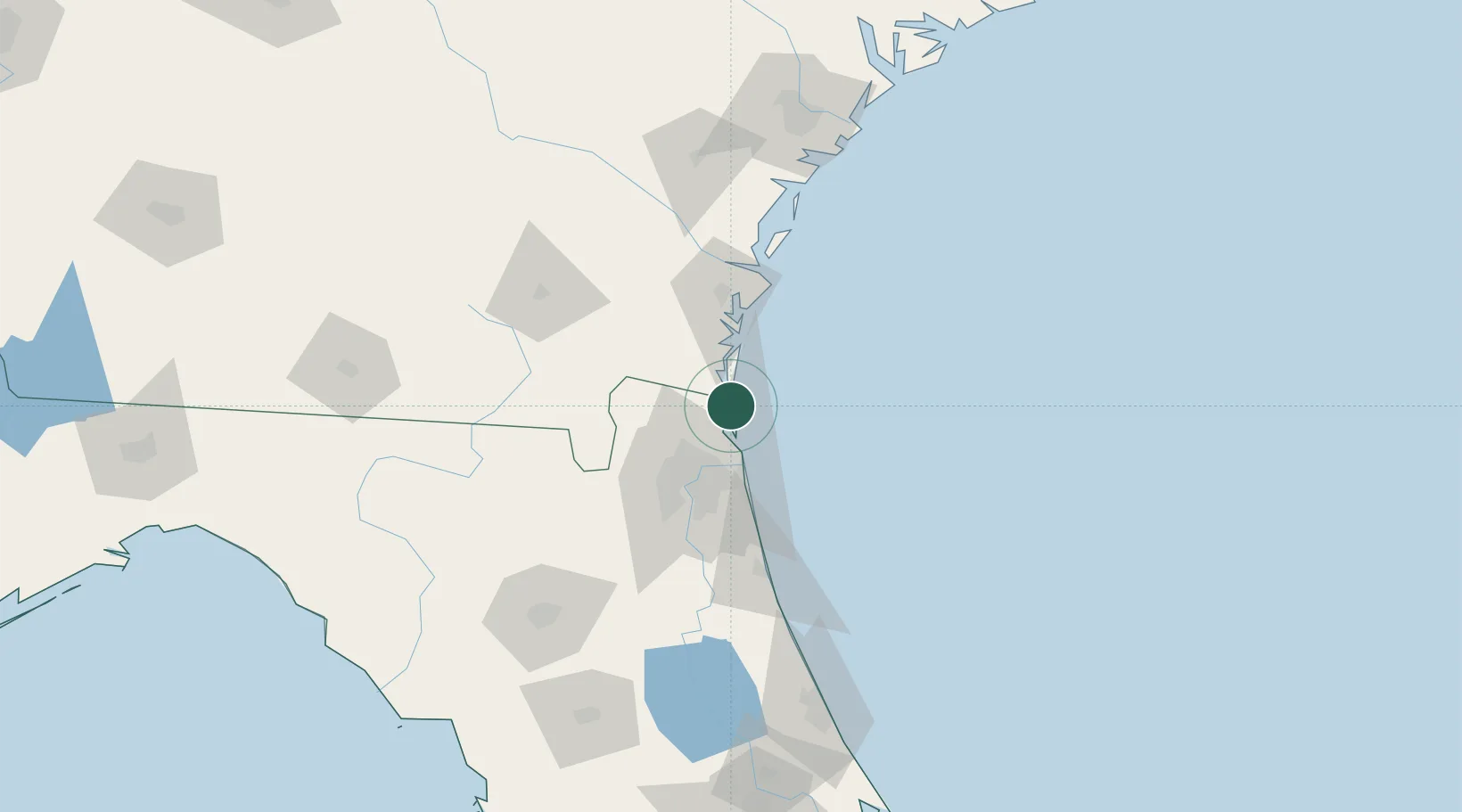
Fernandina Beach
30.6777°, -81.4622°
12,339
Population
2
Transport functions
Transport Functions
Port
Road
Hub Profile
Place type
Provincial seat
Region
Florida
Population
12,339
Time zone
America/New_York
Elevation
3 m
Logistics facilities
2
Location
Nearby Logistics Neighbours
Cities
- 1Amelia City11 km
- 2Kings Bay15 km
- 3Kingsland24 km
- 4Blount Island31 km
- 5Callahan38 km
Ports
- 1Mayport31 km
- 2Jacksonville44 km
- 3Brunswick53 km
- 4Darien77 km
- 5St Augustine88 km
Airports
Trade Zones
- 1FTZ No. 144 Brunswick53 km
- 2FTZ No. 064 Jacksonville61 km
- 3FTZ No. 104 Savannah161 km
- 4FTZ No. 198 Volusia County184 km
- 5FTZ No. 250 Seminole County215 km
DatabookThe Record of Consolidated Knowledge
United States beyond logistics?