Transport Functions
Multimodal
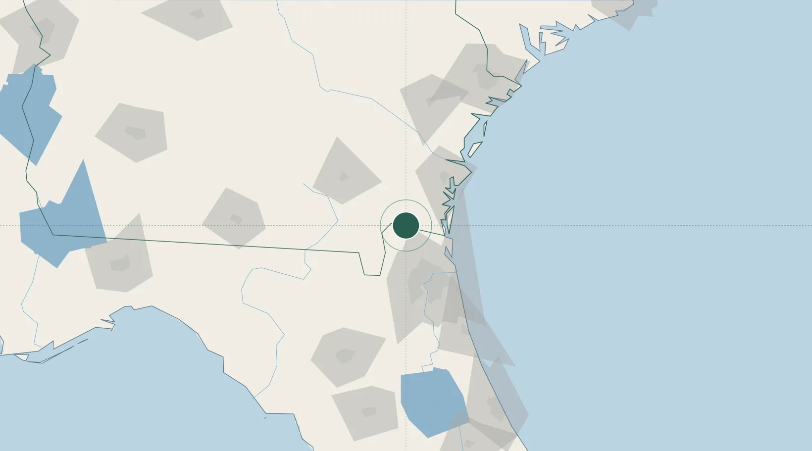
Hub Profile
Place type
Populated place
Region
Georgia
Time zone
America/New_York
Elevation
4 m
Location
Nearby Logistics Neighbours
Cities
- 1Kingsland14 km
- 2Kings Bay26 km
- 3Callahan26 km
- 4Mobile35 km
- 5Fernandina Beach38 km
Ports
- 1Fernandina Beach37 km
- 2Brunswick50 km
- 3Jacksonville57 km
- 4Mayport59 km
- 5Darien74 km
Airports
Trade Zones
- 1FTZ No. 144 Brunswick51 km
- 2FTZ No. 064 Jacksonville52 km
- 3FTZ No. 104 Savannah160 km
- 4FTZ No. 198 Volusia County201 km
- 5FTZ No. 250 Seminole County233 km
DatabookThe Record of Consolidated Knowledge
United States beyond logistics?