Channel & Berth Profile
Pilotage, Tugs & Services
Pilotage compulsoryNO
Pilotage advisableYES
Shore powerYES
Potable waterYES
Diesel bunkersYES
MedicalYES
Facilities & Capabilities
Container—
Ro-Ro—
Liquid bulk—
Dry bulk—
Oil terminal—
Break bulk—
Dry dock—
RepairsNO
Bunkering—
Rail link—
Dangerous cargo—
ISPS security—
Harbour Specifications
Harbour size
Very Small
Harbour type
Coastal (Natural)
Shelter
Excellent
Water body
North Atlantic Ocean
Tidal range
1.5 m
Overhead limit
Yes
Pilotage
No
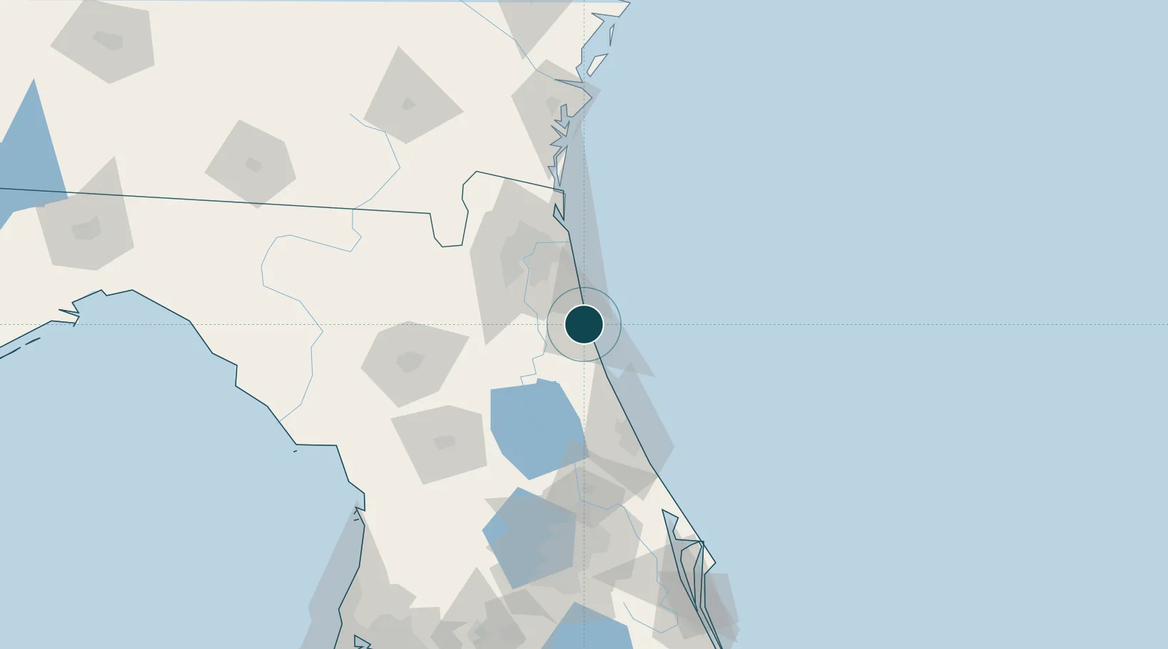
Location
Nearby Logistics Neighbours
Ports
- 1Jacksonville56 km
- 2Mayport57 km
- 3Fernandina Beach88 km
- 4Brunswick140 km
- 5Canaveral Harbor150 km
Cities
- 1Elkton17 km
- 2Saint Johns33 km
- 3Fleming Island44 km
- 4Bunnell51 km
- 5Flagler Beach52 km
Airports
Trade Zones
- 1FTZ No. 064 Jacksonville80 km
- 2FTZ No. 198 Volusia County99 km
- 3FTZ No. 250 Seminole County129 km
- 4FTZ No. 144 Brunswick141 km
- 5FTZ No. 042 Orlando159 km
DatabookThe Record of Consolidated Knowledge
United States beyond logistics?