Medium airport · United States
Jacksonville Naval Air Station (Towers Field)KNIP
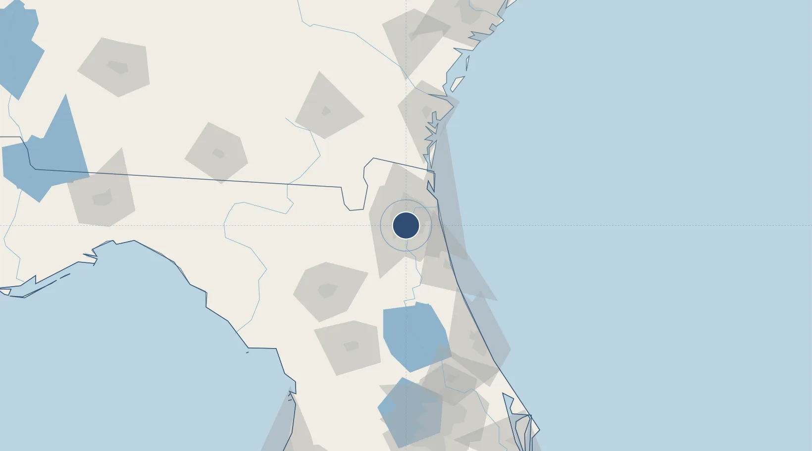
30.2358°, -81.6806°
9,003 ft
Longest runway
2
Runways
21 ft
Elevation
Runway & Layout

Radio Frequencies
ATIS
28.1 MHz
TWR
120 MHz
GND
128.6 MHz
CLD
134.775 MHz
CLNC DEL
A/D
123.8 MHz
APP/DEP
MISC
672.3 MHz
ATCOM
OPS
31.02 MHz
NAVY JAX OPS
PMSV
34.35 MHz
PMSV METRO
Navaids
NIP TACAN Jacksonville 108.20 MHz
Runways · 2
| Runway | Dimensions | Surface | True heading | Lit |
|---|---|---|---|---|
| 10/28 | 9,003 × 200ft | ASPH | 101° | ✓ |
| 14/32 | 5,978 × 200ft | Asphalt | 135° | ✓ |
Airport Specifications
IATA code
NIP
ICAO code
KNIP
Airport class
Medium airport
Scheduled service
No
Runway surface
ASPH
Served city
Jacksonville
Location
Nearby Logistics Neighbours
Airports
Cities
- 1Marietta13 km
- 2Jacksonville16 km
- 3Fleming Island17 km
- 4Saint Johns19 km
- 5Blount Island24 km
Ports
- 1Jacksonville10 km
- 2Mayport30 km
- 3St Augustine51 km
- 4Fernandina Beach54 km
- 5Brunswick103 km
Trade Zones
- 1FTZ No. 064 Jacksonville30 km
- 2FTZ No. 144 Brunswick104 km
- 3FTZ No. 198 Volusia County137 km
- 4FTZ No. 250 Seminole County169 km
- 5FTZ No. 042 Orlando196 km
DatabookThe Record of Consolidated Knowledge
United States beyond logistics?