Channel & Berth Profile
Pilotage, Tugs & Services
Pilotage compulsoryYES
Tug assistanceYES
Shore powerYES
Potable waterYES
MedicalYES
Facilities & Capabilities
Container—
Ro-Ro—
Liquid bulk—
Dry bulk—
Oil terminal—
Break bulk—
Dry dock—
RepairsNO
BunkeringYES
Rail link—
Dangerous cargo—
ISPS security—
Harbour Specifications
Harbour size
Very Small
Harbour type
Coastal (Natural)
Shelter
Fair
Water body
Alaska-Canada coastal waters; North Pacific Ocean
Tidal range
2.6 m
Pilotage
Yes
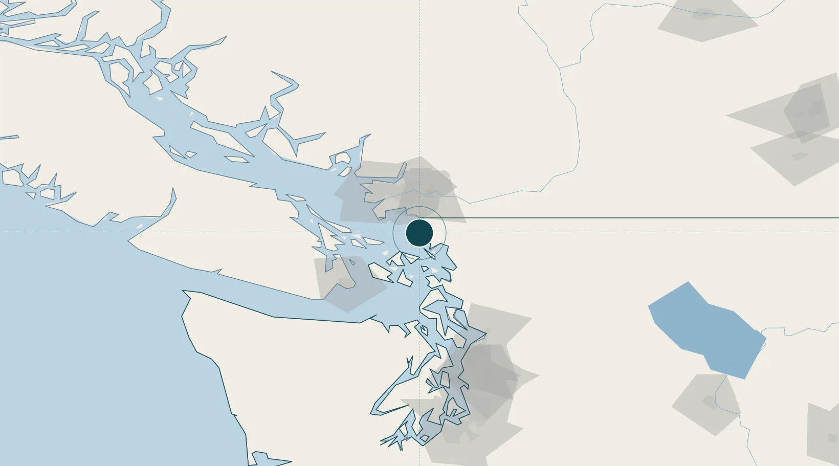
Location
Nearby Logistics Neighbours
Ports
- 1Blaine15 km
- 2Bellingham22 km
- 3Orcas33 km
- 4Lyall Harbor34 km
- 5New Westminster39 km
Cities
- 1Custer10 km
- 2Bellingham24 km
- 3Mengkofen25 km
- 4Cloverdale26 km
- 5Point Roberts27 km
Airports
- 1Bellingham International Airport18 km
- 2Orcas Island Airport21 km
- 3Rosario Seaplane Base26 km
- 4Waldron Airstrip26 km
- 5Point Roberts Airpark27 km
Trade Zones
- 1FTZ No. 128 Whatcom County16 km
- 2FTZ No. 129 Bellingham20 km
- 3FTZ Vancouver Island50 km
- 4FTZ No. 085 Everett104 km
- 5FTZ No. 005 Seattle141 km
DatabookThe Record of Consolidated Knowledge
United States beyond logistics?