UN/LOCODE hub · United States
USPRS
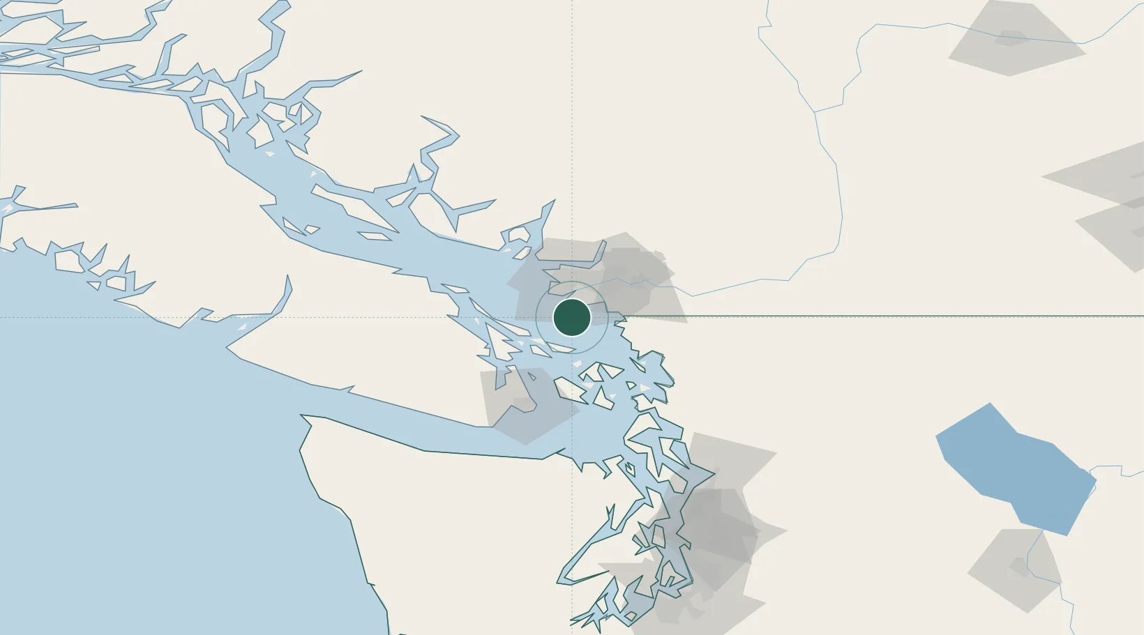
Point Roberts
48.9833°, -123.0667°
1,314
Population
3
Transport functions
Transport Functions
Port
Road
Border Crossing
Hub Profile
Place type
Populated place
Region
Washington
Population
1,314
Time zone
America/Los_Angeles
Elevation
10 m
Location
Nearby Logistics Neighbours
Cities
- 1Thawwassen2 km
- 2Robert's Bank12 km
- 3Delta15 km
- 4New Westminster22 km
- 5Vancouver23 km
Ports
- 1Steveston19 km
- 2Lyall Harbor23 km
- 3Blaine23 km
- 4New Westminster27 km
- 5Cherry Point27 km
Airports
Trade Zones
- 1FTZ Vancouver Island30 km
- 2FTZ No. 128 Whatcom County42 km
- 3FTZ No. 129 Bellingham47 km
- 4FTZ No. 085 Everett126 km
- 5FTZ No. 005 Seattle158 km
DatabookThe Record of Consolidated Knowledge
United States beyond logistics?