Foreign Trade Zone · United States

FTZ No. 128 Whatcom County Active

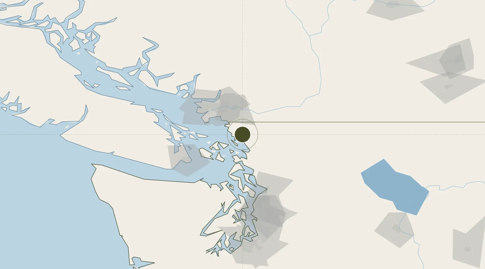
48.8134°, -122.5489°
7.9 km
Nearest port
2.4 km
Nearest airport

Gateway access

Nearest neighbours — logibook spatial index (haversine) over the source coordinates

Zone profile

Zone type
Foreign Trade Zone
Open Zone Map
Region
Washington
Open Zone Map
Status
Active
Open Zone Map
Management
Public-Private Partnership
Open Zone Map
Operator
Lummi Indian Business Council
Open Zone Map
Legal framework
Foreign-Trade Zones Act
Open Zone Map

Location

Location of ozm-4886
Natural Earth 10m (public domain) · Washington · ozm-4886 · 48.81, -122.55GoogleOSMYandex

Nearby Logistics Neighbours

Ports
  1. 1Bellingham8 km
  2. 2Cherry Point16 km
  3. 3Blaine25 km
  4. 4Anacortes33 km
  5. 5Orcas37 km
Nearest neighbours — logibook spatial index (haversine) over the source coordinates
Airports
  1. 1Bellingham International Airport2 km
  2. 2Abbotsford International Airport27 km
  3. 3Orcas Island Airport29 km
  4. 4Rosario Seaplane Base30 km
  5. 5Langley Airport33 km
Nearest neighbours — logibook spatial index (haversine) over the source coordinates
Cities
  1. 1Bellingham8 km
  2. 2Custer13 km
  3. 3Everson20 km
  4. 4Nooksack22 km
  5. 5Acme28 km
Nearest neighbours — logibook spatial index (haversine) over the source coordinates
Trade Zones
  1. 1FTZ No. 129 Bellingham7 km
  2. 2FTZ Vancouver Island64 km
  3. 3FTZ No. 085 Everett93 km
  4. 4FTZ No. 005 Seattle134 km
  5. 5FTZ No. 086 Tacoma172 km
Nearest neighbours — logibook spatial index (haversine) over the source coordinates
DatabookThe Record of Consolidated Knowledge
United States beyond logistics?
Browse databook

All Sources

Trade ZonesOpen Zone Map
CC BY
Portsthe NGA World Port Index
Public domain (US gov)
AirportsOurAirports
Public domain
LocationsUN/LOCODE
UN/LOCODE — free
← United States trade zones