Foreign Trade Zone · United States

FTZ No. 005 Seattle Active

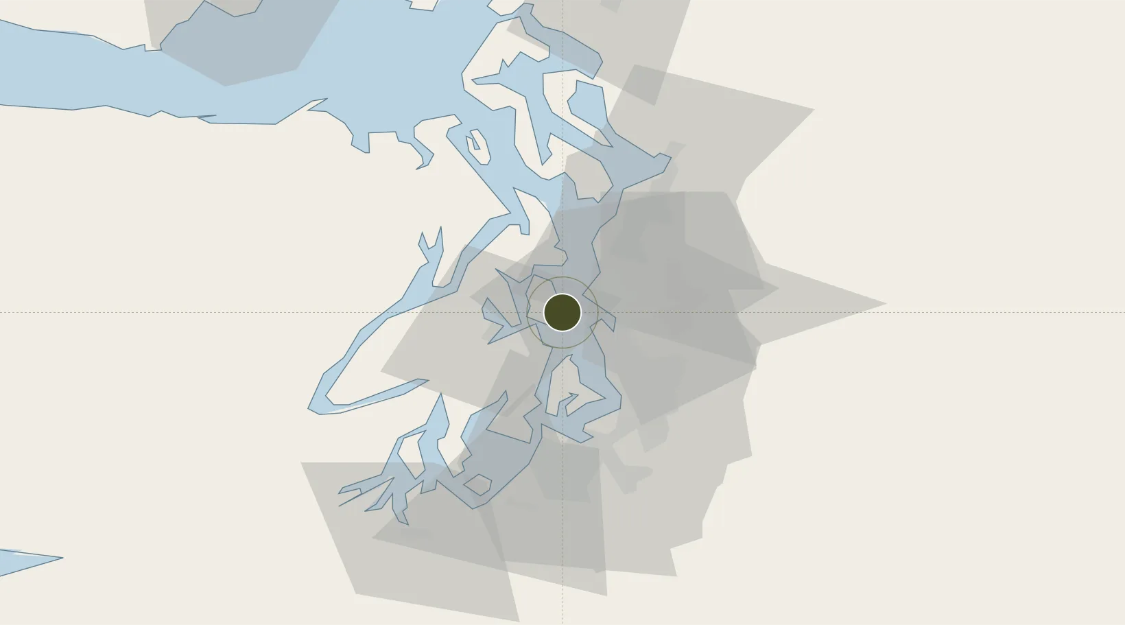
47.6129°, -122.4821°
11.2 km
Nearest port
10.9 km
Nearest airport

Gateway access

Nearest neighbours — logibook spatial index (haversine) over the source coordinates

Zone profile

Zone type
Foreign Trade Zone
Open Zone Map
Region
Washington
Open Zone Map
Status
Active
Open Zone Map
Management
Public
Open Zone Map
Operator
Port of Seattle Commission
Open Zone Map
Legal framework
Foreign-Trade Zones Act
Open Zone Map

Location

Location of ozm-4750
Natural Earth 10m (public domain) · Washington · ozm-4750 · 47.61, -122.48GoogleOSMYandex

Nearby Logistics Neighbours

Ports
  1. 1Seattle11 km
  2. 2Bremerton14 km
  3. 3Keyport14 km
  4. 4Port Orchard14 km
  5. 5Silverdale17 km
Nearest neighbours — logibook spatial index (haversine) over the source coordinates
Airports
  1. 1Kenmore Air Harbor Seaplane Base11 km
  2. 2King County International Airport - Boeing Field17 km
  3. 3Seattle–Tacoma International Airport22 km
  4. 4Kenmore Air Harbor LLC Seaplane Base23 km
  5. 5Bremerton National Airport25 km
Nearest neighbours — logibook spatial index (haversine) over the source coordinates
Cities
  1. 1Bainbridge Island1 km
  2. 2Port Blakely2 km
  3. 3Manchester8 km
  4. 4Port Madison12 km
  5. 5Keyport14 km
Nearest neighbours — logibook spatial index (haversine) over the source coordinates
Trade Zones
  1. 1FTZ No. 086 Tacoma39 km
  2. 2FTZ No. 212 Tacoma41 km
  3. 3FTZ No. 085 Everett48 km
  4. 4FTZ No. 216 Olympia72 km
  5. 5FTZ No. 129 Bellingham127 km
Nearest neighbours — logibook spatial index (haversine) over the source coordinates
DatabookThe Record of Consolidated Knowledge
United States beyond logistics?
Browse databook

All Sources

Trade ZonesOpen Zone Map
CC BY
Portsthe NGA World Port Index
Public domain (US gov)
AirportsOurAirports
Public domain
LocationsUN/LOCODE
UN/LOCODE — free
← United States trade zones