Seaport · Canada
New WestminsterCANWE
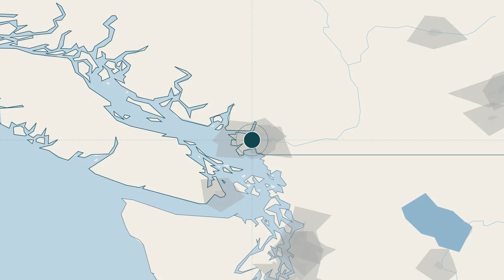
49.2000°, -122.9167°
9.4 m
Channel depth
13.5
Port liner connectivity
Channel & Berth Profile
Pilotage, Tugs & Services
Pilotage compulsoryYES
Pilotage availableYES
Pilotage advisableYES
Tug assistanceYES
Shore powerYES
Potable waterYES
Diesel bunkersYES
MedicalYES
Garbage disposalYES
Facilities & Capabilities
Container—
Ro-Ro—
Liquid bulk—
Dry bulk—
Oil terminal—
Break bulk—
Dry dock—
RepairsNO
BunkeringYES
Rail linkYES
Dangerous cargo—
ISPS security—
Harbour Specifications
Harbour size
Medium
Harbour type
River (Natural)
Shelter
Fair
Water body
Alaska-Canada coastal waters; North Pacific Ocean
Tidal range
3 m
Overhead limit
Yes
Pilotage
Yes
Liner Connectivity
13.5
PLSCI
Port Liner Shipping Connectivity Index for New Westminster, as published by UNCTAD for the latest available quarter. Higher values indicate stronger scheduled liner-shipping integration.
Shown relative to the highest per-port PLSCI in the dataset (1,657.9).
Location
Nearby Logistics Neighbours
Ports
- 1Fraser Mills5 km
- 2Port Moody10 km
- 3Port Coquitlam12 km
- 4Vancouver17 km
- 5Steveston21 km
Cities
- 1Surrey2 km
- 2Fraser-Surrey Docks2 km
- 3Vancouver5 km
- 4Conquitlam8 km
- 5Delta13 km
Airports
Trade Zones
- 1FTZ Vancouver Island15 km
- 2FTZ No. 128 Whatcom County51 km
- 3FTZ No. 129 Bellingham57 km
- 4FTZ No. 085 Everett143 km
- 5FTZ No. 005 Seattle179 km
DatabookThe Record of Consolidated Knowledge
Canada beyond logistics?