Channel & Berth Profile
Pilotage, Tugs & Services
Pilotage availableYES
Diesel bunkersYES
Facilities & Capabilities
Container—
Ro-Ro—
Liquid bulk—
Dry bulk—
Oil terminal—
Break bulk—
Dry dock—
Repairs—
Bunkering—
Rail link—
Dangerous cargo—
ISPS security—
Harbour Specifications
Harbour size
Very Small
Harbour type
Coastal (Natural)
Shelter
Fair
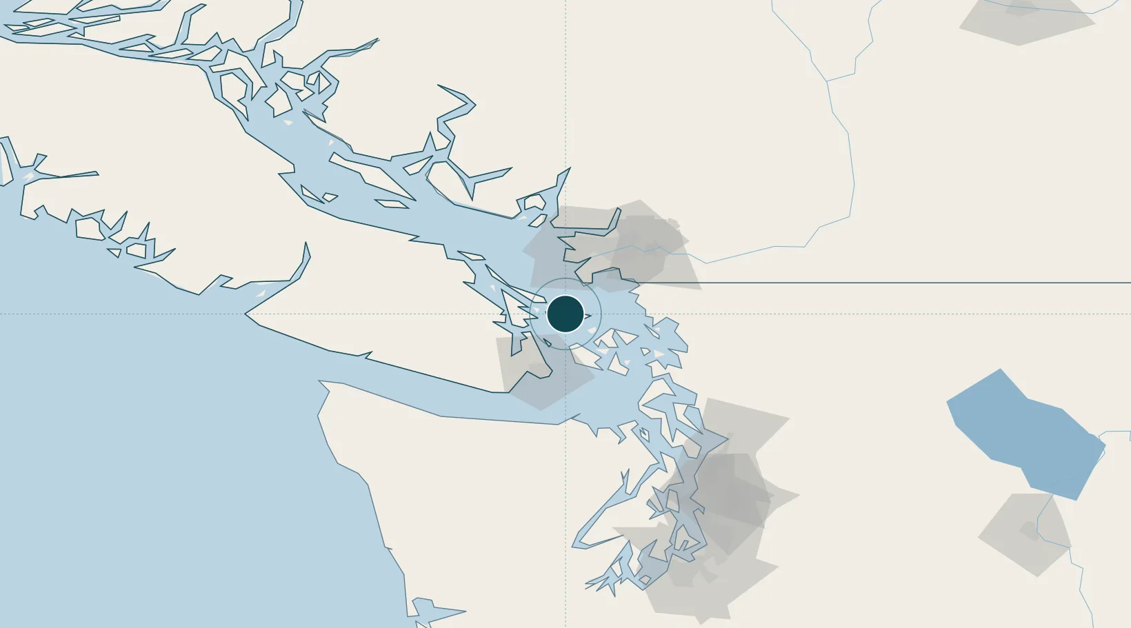
Water body
Alaska-Canada coastal waters; North Pacific Ocean
Overhead limit
No
Location
Nearby Logistics Neighbours
Ports
- 1Roche Harbor21 km
- 2Sidney21 km
- 3Ganges22 km
- 4Orcas30 km
- 5Cowichan Bay31 km
Cities
- 1Mengkofen17 km
- 2Point Roberts23 km
- 3Thawwassen24 km
- 4Robert's Bank30 km
- 5Brentwood Bay30 km
Airports
Trade Zones
- 1FTZ No. 128 Whatcom County48 km
- 2FTZ No. 129 Bellingham49 km
- 3FTZ Vancouver Island50 km
- 4FTZ No. 085 Everett115 km
- 5FTZ No. 005 Seattle142 km
DatabookThe Record of Consolidated Knowledge
Canada beyond logistics?