Foreign Trade Zone · Canada

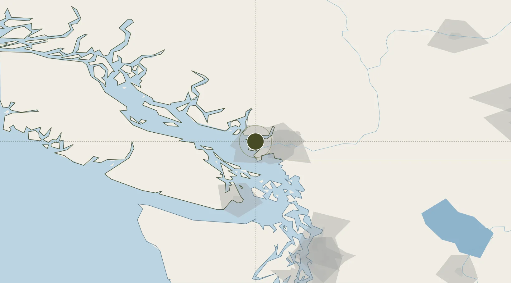
FTZ Vancouver Island Active

49.2463°, -123.1162°
4.1 km
Nearest port
4.6 km
Nearest airport

Gateway access

Nearest neighbours — logibook spatial index (haversine) over the source coordinates

Zone profile

Zone type
Foreign Trade Zone
Open Zone Map
Region
British Columbia
Open Zone Map
Status
Active
Open Zone Map
Management
Public-Private Partnership
Open Zone Map
Operator
Vancouver Island Economic Alliance
Open Zone Map
Legal framework
Foreign Trade Zone Act of 1934
Open Zone Map

Location

Location of ozm-291
Natural Earth 10m (public domain) · British Columbia · ozm-291 · 49.25, -123.12GoogleOSMYandex

Nearby Logistics Neighbours

Ports
  1. 1Vancouver4 km
  2. 2Steveston14 km
  3. 3New Westminster15 km
  4. 4Port Moody17 km
  5. 5Fraser Mills19 km
Nearest neighbours — logibook spatial index (haversine) over the source coordinates
Airports
  1. 1Harbour (Public) Heliport5 km
  2. 2Vancouver Harbour Water Aerodrome5 km
  3. 3Vancouver International Airport8 km
  4. 4Vancouver International Seaplane Base9 km
  5. 5Boundary Bay Airport21 km
Nearest neighbours — logibook spatial index (haversine) over the source coordinates
Cities
  1. 1English Bay4 km
  2. 2Burrard Inlet8 km
  3. 3North Vancouver9 km
  4. 4West Vancouver10 km
  5. 5Vancouver13 km
Nearest neighbours — logibook spatial index (haversine) over the source coordinates
Trade Zones
  1. 1FTZ No. 128 Whatcom County64 km
  2. 2FTZ No. 129 Bellingham70 km
  3. 3FTZ No. 085 Everett153 km
  4. 4FTZ No. 005 Seattle188 km
  5. 5FTZ No. 212 Tacoma226 km
Nearest neighbours — logibook spatial index (haversine) over the source coordinates
DatabookThe Record of Consolidated Knowledge
Canada beyond logistics?
Browse databook

All Sources

Trade ZonesOpen Zone Map
CC BY
Portsthe NGA World Port Index
Public domain (US gov)
AirportsOurAirports
Public domain
LocationsUN/LOCODE
UN/LOCODE — free
← Canada trade zones