UN/LOCODE hub · United States
USBLI
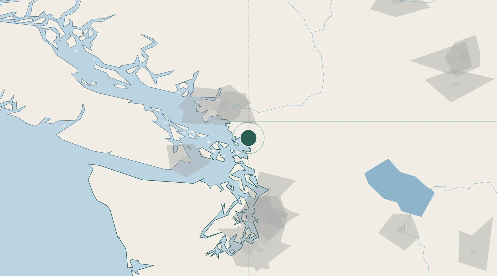
Bellingham
48.7556°, -122.4751°
85,146
Population
3
Transport functions
Transport Functions
Port
Road
Airport
Hub Profile
Place type
Provincial seat
Region
Washington
Population
85,146
Time zone
America/Los_Angeles
Elevation
21 m
Logistics facilities
1
Location
Nearby Logistics Neighbours
Cities
- 1Acme21 km
- 2Everson21 km
- 3Custer21 km
- 4Nooksack23 km
- 5Sedro Woolley34 km
Ports
- 1Cherry Point24 km
- 2Anacortes29 km
- 3Blaine34 km
- 4Orcas38 km
- 5Mission City46 km
Airports
Trade Zones
- 1FTZ No. 129 Bellingham4 km
- 2FTZ No. 128 Whatcom County8 km
- 3FTZ Vancouver Island72 km
- 4FTZ No. 085 Everett86 km
- 5FTZ No. 005 Seattle127 km
DatabookThe Record of Consolidated Knowledge
United States beyond logistics?