Transport Functions
Rail
Road
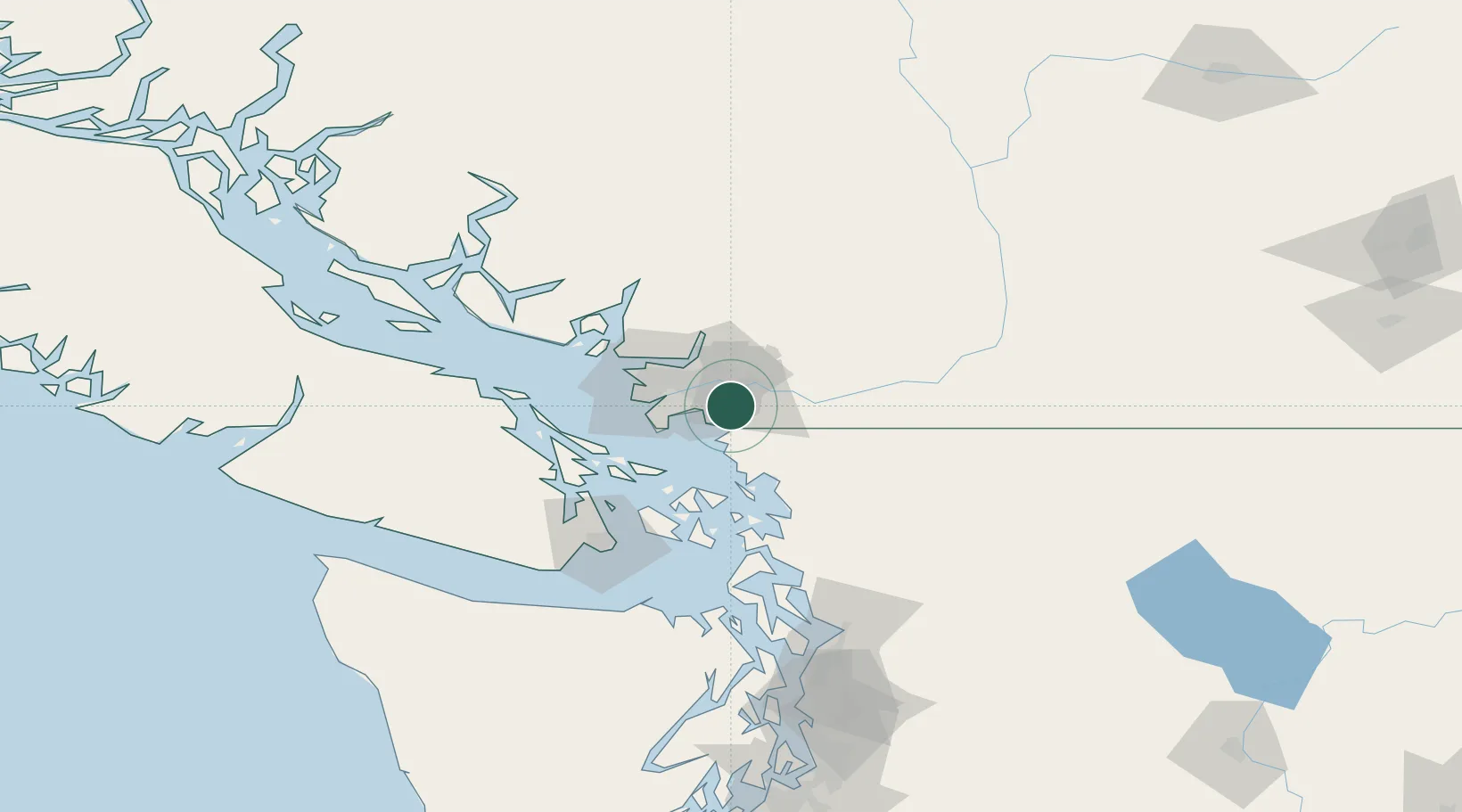
Hub Profile
Place type
Urban district
Region
British Columbia
Population
73,355
Time zone
America/Vancouver
Elevation
10 m
Location
Nearby Logistics Neighbours
Cities
- 1Milner9 km
- 2Langley12 km
- 3Fort Langley14 km
- 4Surrey16 km
- 5Fraser-Surrey Docks16 km
Ports
- 1Blaine11 km
- 2Port Coquitlam15 km
- 3Fraser Mills16 km
- 4New Westminster17 km
- 5Port Moody23 km
Airports
Trade Zones
- 1FTZ Vancouver Island32 km
- 2FTZ No. 128 Whatcom County35 km
- 3FTZ No. 129 Bellingham41 km
- 4FTZ No. 085 Everett128 km
- 5FTZ No. 005 Seattle166 km
DatabookThe Record of Consolidated Knowledge
Canada beyond logistics?