Seaplane base · United States
Rosario Seaplane BaseW49
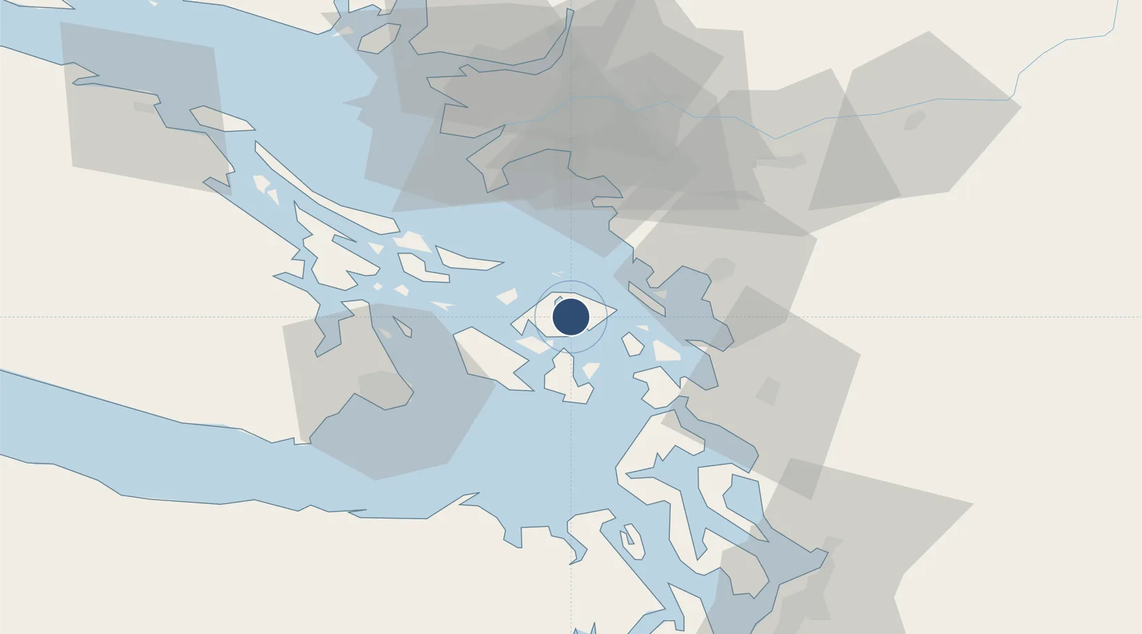
48.6457°, -122.8680°
10,000 ft
Longest runway
2
Runways
Runway & Layout

Runways · 2
| Runway | Dimensions | Surface | True heading | Lit |
|---|---|---|---|---|
| 16/34 | 10,000 × 1000ft | Water | — | — |
| 07/25 | 2,500 × 1000ft | Water | — | — |
Airport Specifications
IATA code
RSJ
ICAO code
W49
Airport class
Seaplane base
Scheduled service
Yes
Runway surface
Water
Served city
Rosario
Location
Nearby Logistics Neighbours
Airports
- 1Westsound/WSX Seaplane Base7 km
- 2Orcas Island Airport8 km
- 3Blakely Island Airport8 km
- 4Deer Harbor SPB10 km
- 5Waldron Airstrip13 km
Cities
- 1Mengkofen13 km
- 2Bellingham31 km
- 3Custer35 km
- 4Point Roberts40 km
- 5Thawwassen42 km
Ports
- 1Orcas7 km
- 2Friday Harbor17 km
- 3Roche Harbor22 km
- 4Anacortes23 km
- 5Cherry Point26 km
Trade Zones
- 1FTZ No. 129 Bellingham28 km
- 2FTZ No. 128 Whatcom County30 km
- 3FTZ Vancouver Island69 km
- 4FTZ No. 085 Everett86 km
- 5FTZ No. 005 Seattle118 km
DatabookThe Record of Consolidated Knowledge
United States beyond logistics?