Channel & Berth Profile
Pilotage, Tugs & Services
Pilotage compulsoryYES
Shore powerYES
Potable waterYES
Diesel bunkersYES
MedicalYES
Garbage disposalYES
Facilities & Capabilities
Container—
Ro-Ro—
Liquid bulk—
Dry bulk—
Oil terminal—
Break bulk—
Dry dock—
Repairs—
BunkeringYES
Rail link—
Dangerous cargo—
ISPS security—
Harbour Specifications
Harbour size
Very Small
Harbour type
Coastal (Natural)
Shelter
Excellent
Water body
Alaska-Canada coastal waters; North Pacific Ocean
Tidal range
1.5 m
Pilotage
Yes
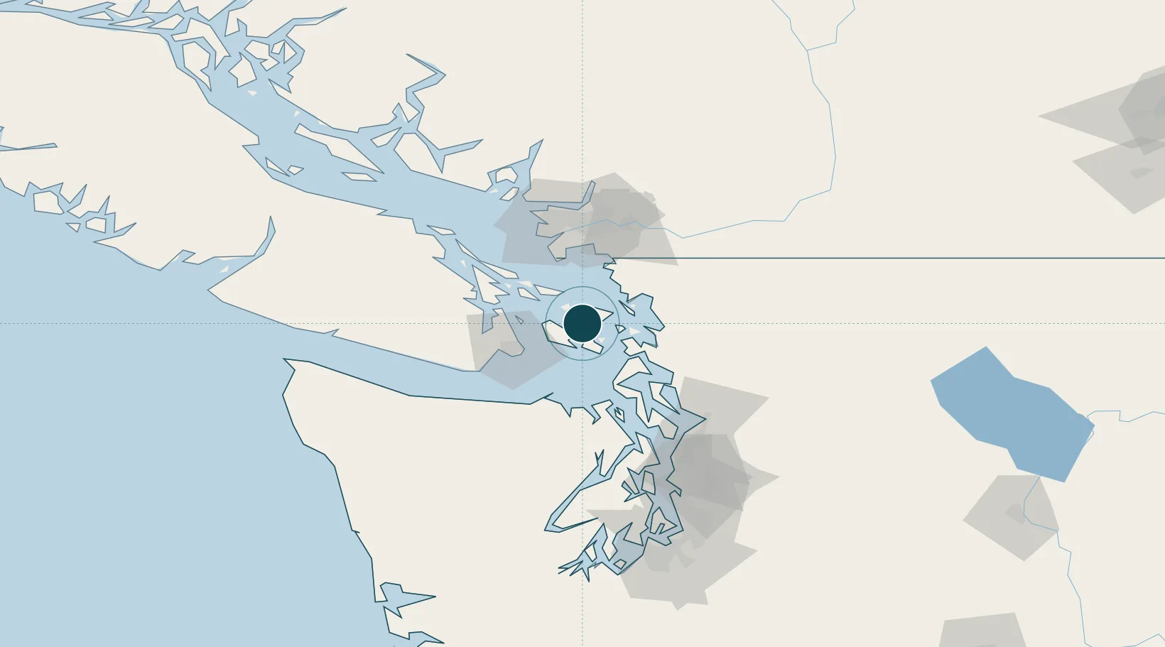
Location
Nearby Logistics Neighbours
Ports
- 1Friday Harbor10 km
- 2Roche Harbor17 km
- 3Anacortes25 km
- 4Lyall Harbor30 km
- 5Cherry Point33 km
Cities
- 1Mengkofen14 km
- 2Victoria36 km
- 3Bellingham38 km
- 4Brentwood Bay38 km
- 5Custer42 km
Airports
Trade Zones
- 1FTZ No. 129 Bellingham34 km
- 2FTZ No. 128 Whatcom County37 km
- 3FTZ Vancouver Island73 km
- 4FTZ No. 085 Everett85 km
- 5FTZ No. 005 Seattle115 km
DatabookThe Record of Consolidated Knowledge
United States beyond logistics?