Foreign Trade Zone · United States

FTZ No. 085 Everett Active

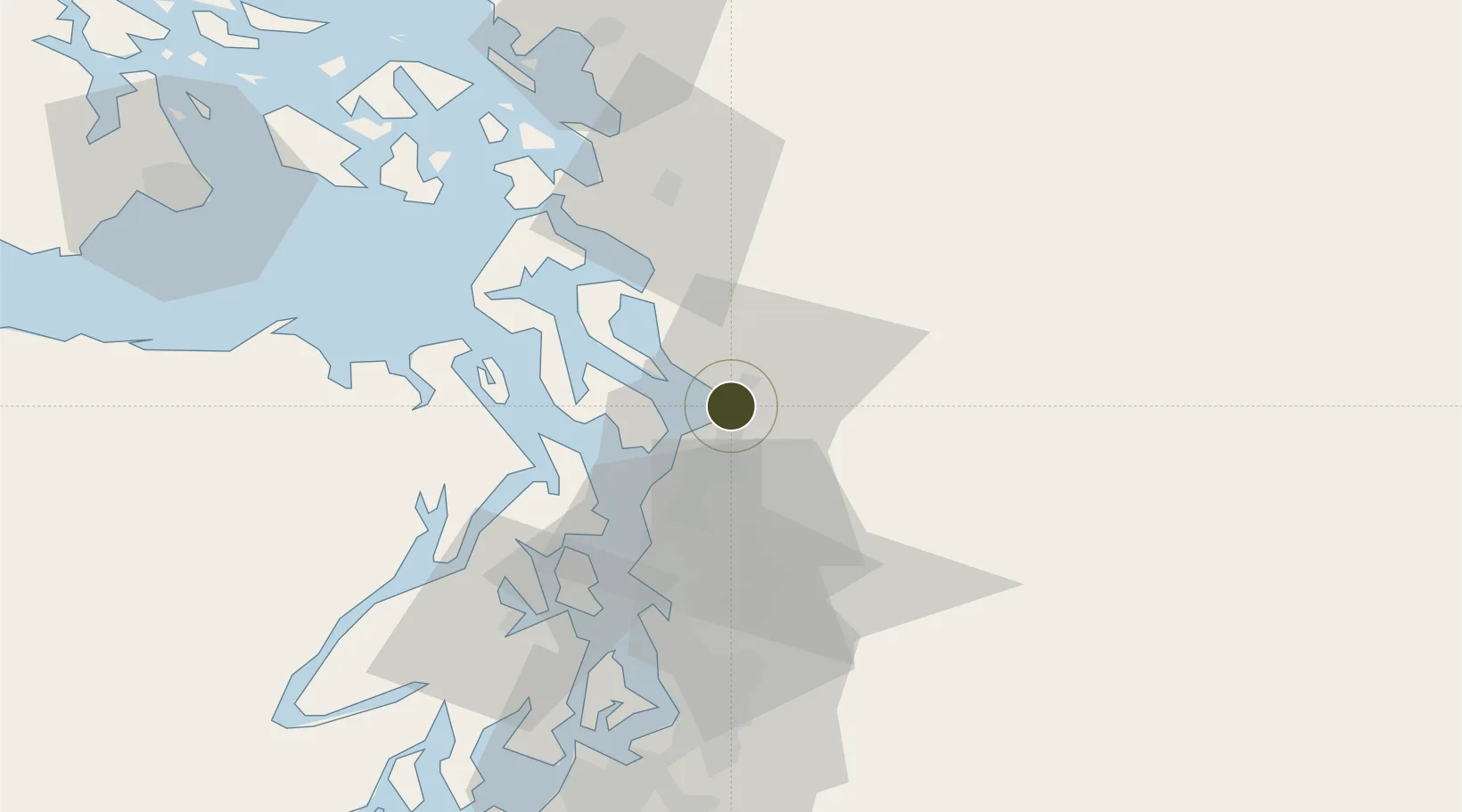
48.0022°, -122.2177°
0.3 km
Nearest port
11.7 km
Nearest airport

Gateway access

Nearest neighbours — logibook spatial index (haversine) over the source coordinates

Zone profile

Zone type
Foreign Trade Zone
Open Zone Map
Region
Washington
Open Zone Map
Status
Active
Open Zone Map
Management
Public-Private Partnership
Open Zone Map
Operator
Port of Everett
Open Zone Map
Legal framework
Foreign-Trade Zones Act
Open Zone Map

Location

Location of ozm-4883
Natural Earth 10m (public domain) · Washington · ozm-4883 · 48.00, -122.22GoogleOSMYandex

Nearby Logistics Neighbours

Ports
  1. 1Everett0 km
  2. 2Mukilteo8 km
  3. 3Point Wells28 km
  4. 4Port Gamble32 km
  5. 5Port Townsend42 km
Nearest neighbours — logibook spatial index (haversine) over the source coordinates
Airports
  1. 1Seattle Paine Field International Airport12 km
  2. 2Arlington Municipal Airport18 km
  3. 3Kenmore Air Harbor LLC Seaplane Base28 km
  4. 4Kenmore Air Harbor Seaplane Base43 km
  5. 5Whidbey Island Naval Air Station (Ault Field)51 km
Nearest neighbours — logibook spatial index (haversine) over the source coordinates
Cities
  1. 1Everett4 km
  2. 2Mukilteo8 km
  3. 3Tulalip9 km
  4. 4Lake Stevens11 km
  5. 5Lakewood17 km
Nearest neighbours — logibook spatial index (haversine) over the source coordinates
Trade Zones
  1. 1FTZ No. 005 Seattle48 km
  2. 2FTZ No. 086 Tacoma83 km
  3. 3FTZ No. 129 Bellingham87 km
  4. 4FTZ No. 212 Tacoma87 km
  5. 5FTZ No. 128 Whatcom County93 km
Nearest neighbours — logibook spatial index (haversine) over the source coordinates
DatabookThe Record of Consolidated Knowledge
United States beyond logistics?
Browse databook

All Sources

Trade ZonesOpen Zone Map
CC BY
Portsthe NGA World Port Index
Public domain (US gov)
AirportsOurAirports
Public domain
LocationsUN/LOCODE
UN/LOCODE — free
← United States trade zones