Medium airport · United States
Bellingham International AirportKBLI
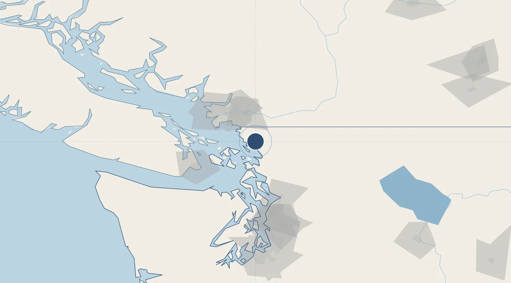
48.7928°, -122.5380°
6,700 ft
Longest runway
1
Runways
170 ft
Elevation
Runway & Layout

Radio Frequencies
ATIS
134.45 MHz
TWR
124.9 MHz
GND
127.4 MHz
CTAF
124.9 MHz
A/D
132.7 MHz
VICTORIA APP/DEP
RDO
122.15 MHz
SEATTLE RDO
UNIC
122.95 MHz
UNICOM
Navaids
BL NDB Benza 338 kHz
HUH VORTAC Whatcom 113.00 MHz
Runways · 1
| Runway | Dimensions | Surface | True heading | Lit |
|---|---|---|---|---|
| 16/34 | 6,700 × 150ft | Asphalt | 180° | ✓ |
Airport Specifications
IATA code
BLI
ICAO code
KBLI
Airport class
Medium airport
Scheduled service
Yes
Runway surface
Asphalt
Served city
Bellingham
Location
Nearby Logistics Neighbours
Airports
- 1Orcas Island Airport29 km
- 2Abbotsford International Airport29 km
- 3Rosario Seaplane Base29 km
- 4Blakely Island Airport32 km
- 5Anacortes Airport34 km
Cities
- 1Bellingham6 km
- 2Custer15 km
- 3Everson20 km
- 4Nooksack23 km
- 5Acme26 km
Ports
- 1Bellingham6 km
- 2Cherry Point18 km
- 3Blaine28 km
- 4Anacortes31 km
- 5Orcas36 km
Trade Zones
- 1FTZ No. 128 Whatcom County2 km
- 2FTZ No. 129 Bellingham4 km
- 3FTZ Vancouver Island66 km
- 4FTZ No. 085 Everett91 km
- 5FTZ No. 005 Seattle131 km
DatabookThe Record of Consolidated Knowledge
United States beyond logistics?