Channel & Berth Profile
Pilotage, Tugs & Services
Pilotage compulsoryYES
Pilotage advisableYES
Tug assistanceYES
Shore powerYES
Potable waterYES
Diesel bunkersYES
MedicalYES
Garbage disposalYES
Facilities & Capabilities
Container—
Ro-Ro—
Liquid bulk—
Dry bulk—
Oil terminal—
Break bulk—
Dry dock—
RepairsNO
BunkeringYES
Rail linkYES
Dangerous cargo—
ISPS security—
Harbour Specifications
Harbour size
Small
Harbour type
Coastal (Natural)
Shelter
Excellent
Water body
Alaska-Canada coastal waters; North Pacific Ocean
Tidal range
3 m
Pilotage
Yes
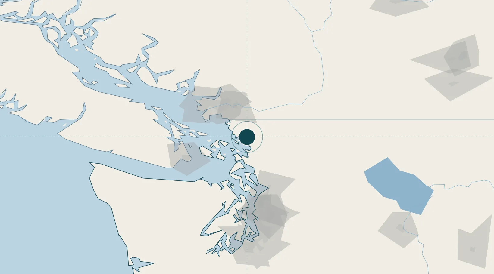
Location
Nearby Logistics Neighbours
Ports
- 1Cherry Point22 km
- 2Anacortes27 km
- 3Blaine33 km
- 4Orcas36 km
- 5Friday Harbor45 km
Cities
- 1Custer21 km
- 2Everson22 km
- 3Acme22 km
- 4Nooksack24 km
- 5Sedro Woolley34 km
Airports
- 1Bellingham International Airport6 km
- 2Rosario Seaplane Base29 km
- 3Anacortes Airport30 km
- 4Orcas Island Airport30 km
- 5Blakely Island Airport30 km
Trade Zones
- 1FTZ No. 129 Bellingham2 km
- 2FTZ No. 128 Whatcom County8 km
- 3FTZ Vancouver Island71 km
- 4FTZ No. 085 Everett86 km
- 5FTZ No. 005 Seattle126 km
DatabookThe Record of Consolidated Knowledge
United States beyond logistics?