Transport Functions
Port
Multimodal
Hub Profile
Place type
Local administrative seat
Region
Bavaria
Population
5,695
Time zone
Europe/Berlin
Elevation
399 m
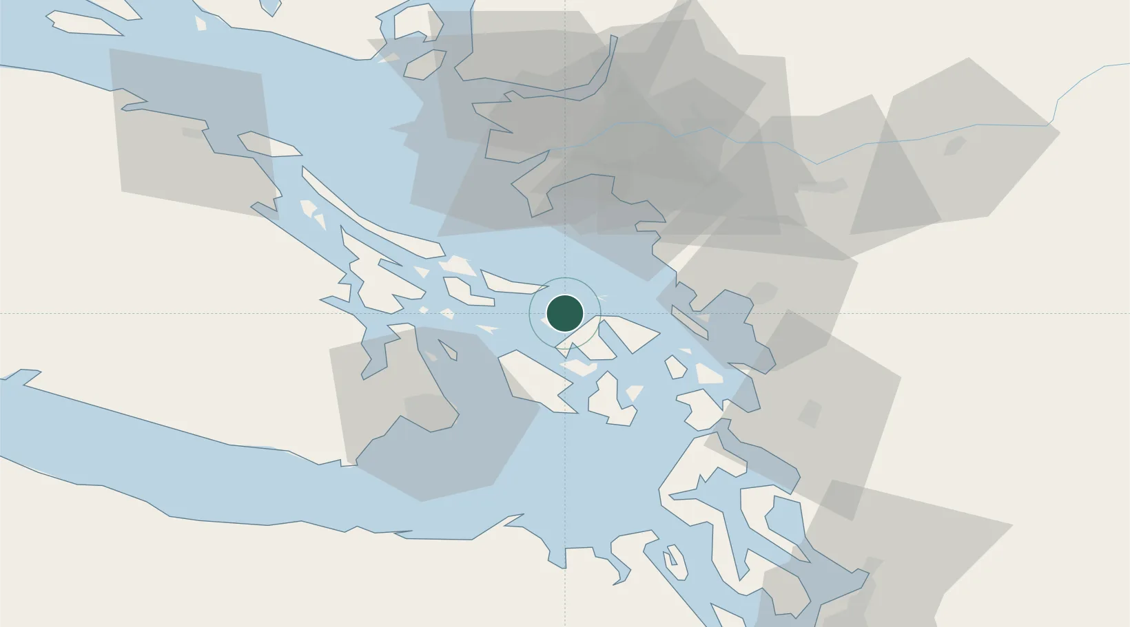
Location
Nearby Logistics Neighbours
Cities
- 1Point Roberts30 km
- 2Thawwassen32 km
- 3Custer35 km
- 4Brentwood Bay36 km
- 5Bellingham39 km
Ports
- 1Orcas14 km
- 2Roche Harbor17 km
- 3Lyall Harbor17 km
- 4Friday Harbor20 km
- 5Cherry Point25 km
Airports
- 1Waldron Airstrip2 km
- 2Orcas Island Airport7 km
- 3Deer Harbor SPB11 km
- 4Westsound/WSX Seaplane Base11 km
- 5Rosario Seaplane Base13 km
Trade Zones
- 1FTZ No. 129 Bellingham35 km
- 2FTZ No. 128 Whatcom County35 km
- 3FTZ Vancouver Island60 km
- 4FTZ No. 085 Everett98 km
- 5FTZ No. 005 Seattle129 km
DatabookThe Record of Consolidated Knowledge
Germany beyond logistics?