Medium airport · United States
Orcas Island AirportKORS
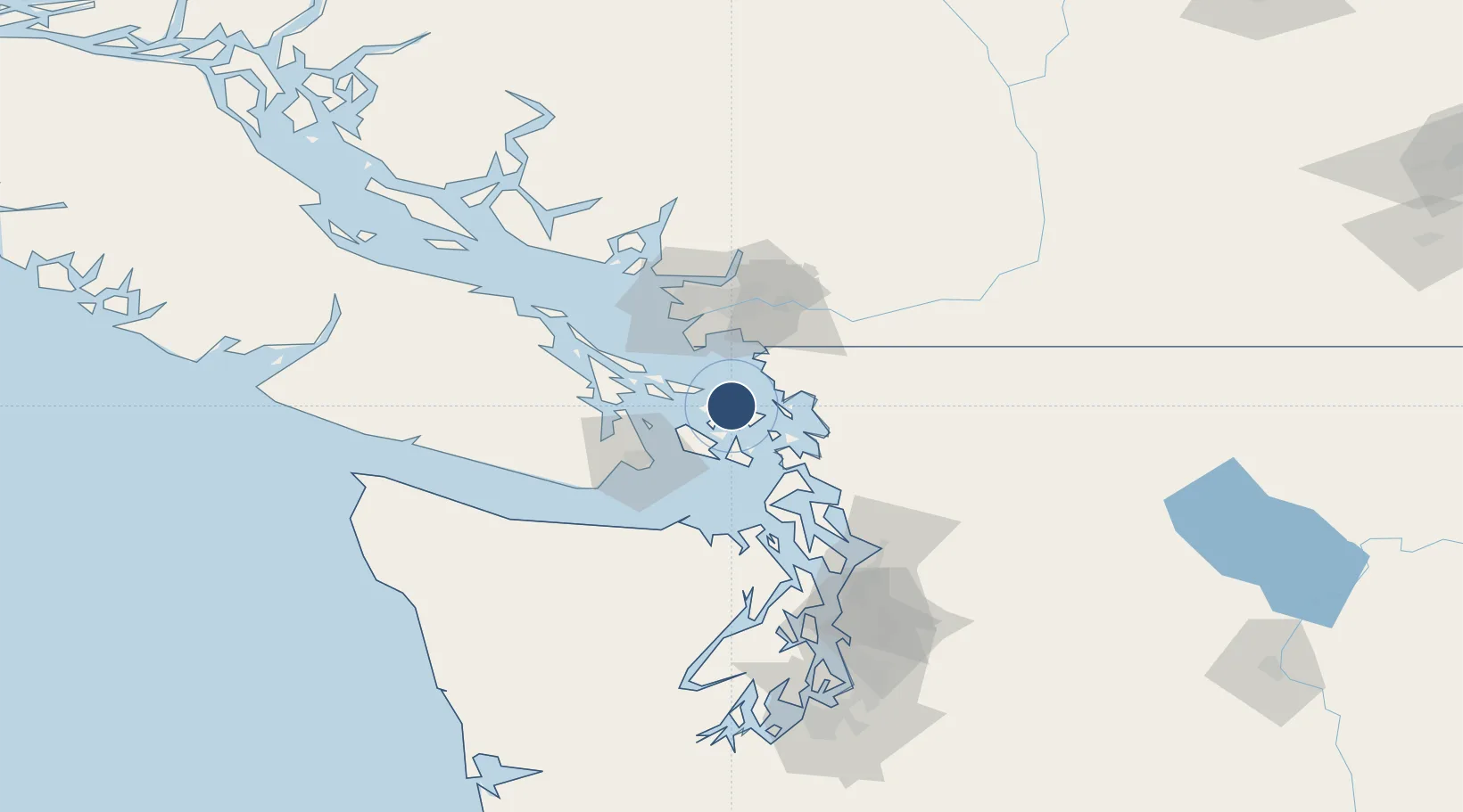
48.7082°, -122.9100°
2,901 ft
Longest runway
1
Runways
31 ft
Elevation
Runway & Layout

Radio Frequencies
AWOS
135.425 MHz
CTAF
128.25 MHz
WHIDBEY APP/DEP
118.2 MHz
Runways · 1
| Runway | Dimensions | Surface | True heading | Lit |
|---|---|---|---|---|
| 16/34 | 2,901 × 60ft | ASPH-G | — | — |
Airport Specifications
IATA code
ESD
ICAO code
KORS
Airport class
Medium airport
Scheduled service
Yes
Runway surface
ASPH-G
Served city
Eastsound
Location
Nearby Logistics Neighbours
Airports
- 1Rosario Seaplane Base8 km
- 2Waldron Airstrip8 km
- 3Westsound/WSX Seaplane Base11 km
- 4Deer Harbor SPB12 km
- 5Blakely Island Airport16 km
Cities
- 1Mengkofen7 km
- 2Custer31 km
- 3Bellingham32 km
- 4Point Roberts33 km
- 5Thawwassen34 km
Ports
- 1Orcas12 km
- 2Friday Harbor21 km
- 3Cherry Point21 km
- 4Roche Harbor21 km
- 5Lyall Harbor24 km
Trade Zones
- 1FTZ No. 129 Bellingham28 km
- 2FTZ No. 128 Whatcom County29 km
- 3FTZ Vancouver Island62 km
- 4FTZ No. 085 Everett94 km
- 5FTZ No. 005 Seattle126 km
DatabookThe Record of Consolidated Knowledge
United States beyond logistics?