Channel & Berth Profile
Pilotage, Tugs & Services
Pilotage compulsoryYES
Shore powerYES
Potable waterYES
Diesel bunkersYES
MedicalYES
Garbage disposalYES
Facilities & Capabilities
Container—
Ro-Ro—
Liquid bulk—
Dry bulk—
Oil terminal—
Break bulk—
Dry dock—
RepairsNO
BunkeringYES
Rail linkYES
Dangerous cargo—
ISPS security—
Harbour Specifications
Harbour size
Very Small
Harbour type
Coastal (Natural)
Shelter
Good
Water body
Alaska-Canada coastal waters; North Pacific Ocean
Tidal range
1.8 m
Pilotage
Yes
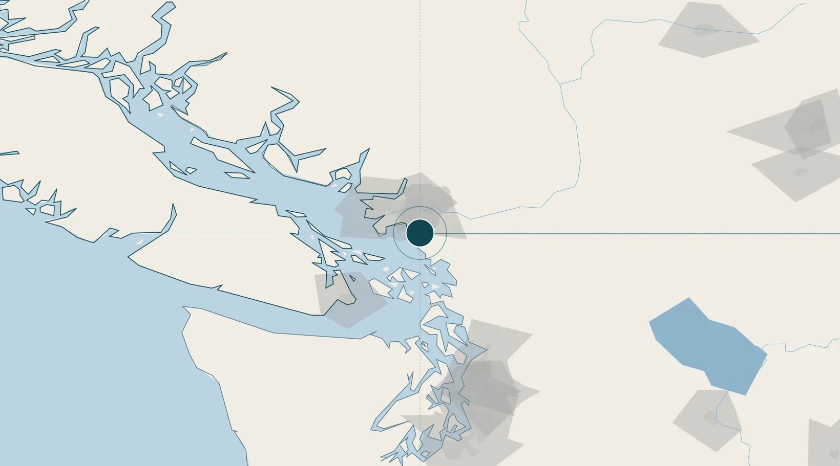
Location
Nearby Logistics Neighbours
Ports
- 1Cherry Point15 km
- 2New Westminster25 km
- 3Port Coquitlam26 km
- 4Fraser Mills26 km
- 5Port Moody33 km
Cities
- 1Cloverdale11 km
- 2Custer13 km
- 3Langley17 km
- 4Milner18 km
- 5Fort Langley23 km
Airports
- 1Langley Airport14 km
- 2Boundary Bay Airport21 km
- 3Pitt Meadows Seaplane Base23 km
- 4Pitt Meadows Regional Airport24 km
- 5Point Roberts Airpark24 km
Trade Zones
- 1FTZ No. 128 Whatcom County25 km
- 2FTZ No. 129 Bellingham32 km
- 3FTZ Vancouver Island38 km
- 4FTZ No. 085 Everett118 km
- 5FTZ No. 005 Seattle156 km
DatabookThe Record of Consolidated Knowledge
United States beyond logistics?