Transport Functions
Rail
Road
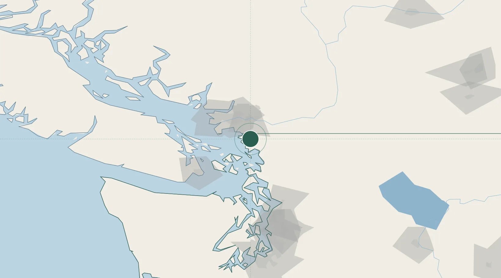
Hub Profile
Place type
Populated place
Region
Washington
Population
366
Time zone
America/Los_Angeles
Elevation
12 m
Location
Nearby Logistics Neighbours
Cities
- 1Langley21 km
- 2Bellingham21 km
- 3Cloverdale22 km
- 4Everson22 km
- 5Nooksack23 km
Ports
- 1Cherry Point10 km
- 2Blaine13 km
- 3Bellingham21 km
- 4Port Coquitlam37 km
- 5Mission City37 km
Airports
- 1Bellingham International Airport15 km
- 2Langley Airport21 km
- 3Abbotsford International Airport23 km
- 4Orcas Island Airport31 km
- 5Boundary Bay Airport32 km
Trade Zones
- 1FTZ No. 128 Whatcom County13 km
- 2FTZ No. 129 Bellingham20 km
- 3FTZ Vancouver Island51 km
- 4FTZ No. 085 Everett106 km
- 5FTZ No. 005 Seattle145 km
DatabookThe Record of Consolidated Knowledge
United States beyond logistics?