Foreign Trade Zone · United States
FTZ No. 129 Bellingham Active
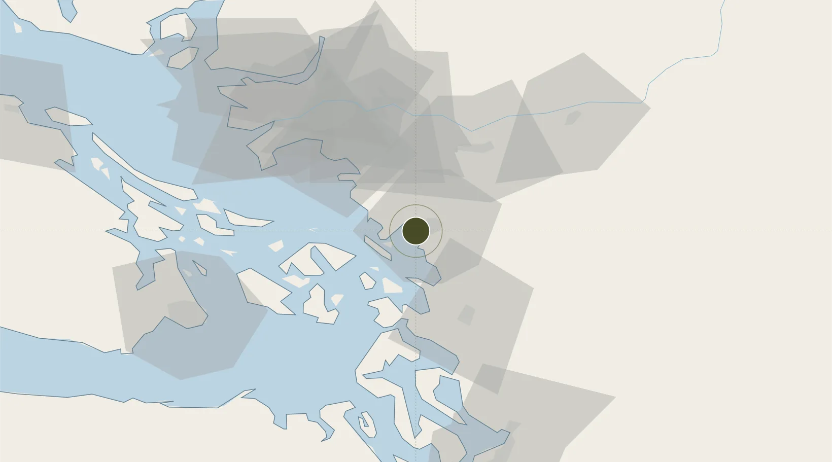
48.7533°, -122.5314°
2.3 km
Nearest port
4.4 km
Nearest airport
Gateway access
Zone profile
Zone type
Foreign Trade Zone
Region
Washington
Status
Active
Management
Public
Operator
Port of Bellingham
Legal framework
Foreign-Trade Zones Act
Location
Nearby Logistics Neighbours
Ports
- 1Bellingham2 km
- 2Cherry Point20 km
- 3Anacortes27 km
- 4Blaine32 km
- 5Orcas34 km
Airports
- 1Bellingham International Airport4 km
- 2Rosario Seaplane Base28 km
- 3Orcas Island Airport28 km
- 4Blakely Island Airport29 km
- 5Anacortes Airport30 km
Cities
- 1Bellingham4 km
- 2Custer20 km
- 3Everson23 km
- 4Acme25 km
- 5Nooksack25 km
Trade Zones
- 1FTZ No. 128 Whatcom County7 km
- 2FTZ Vancouver Island70 km
- 3FTZ No. 085 Everett87 km
- 4FTZ No. 005 Seattle127 km
- 5FTZ No. 086 Tacoma166 km
DatabookThe Record of Consolidated Knowledge
United States beyond logistics?