Small airport · United States
Waldron Airstrip90WA
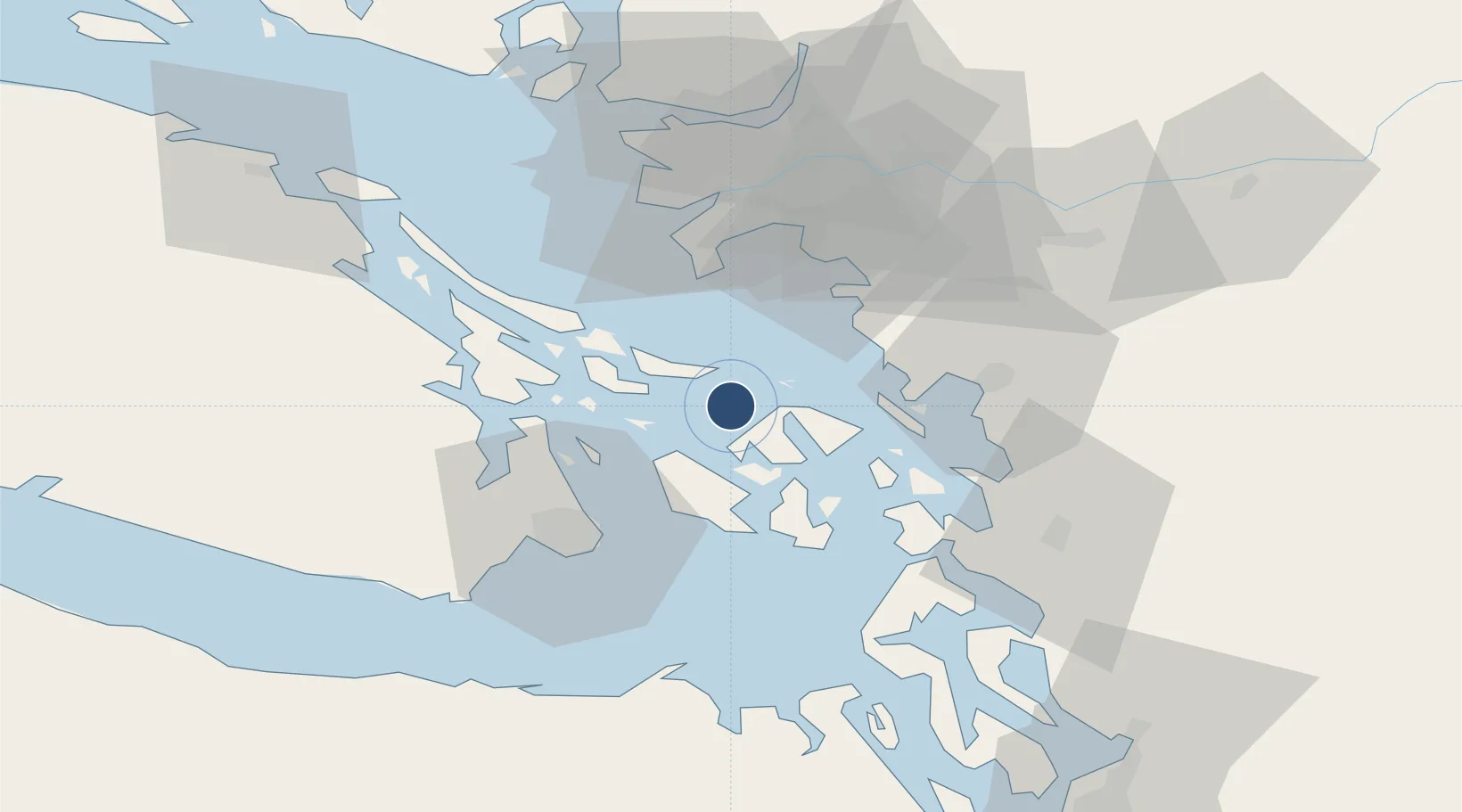
48.7114°, -123.0182°
2,700 ft
Longest runway
1
Runways
140 ft
Elevation
Runway & Layout

Runways · 1
| Runway | Dimensions | Surface | True heading | Lit |
|---|---|---|---|---|
| 14/32 | 2,700 × 300ft | Turf | — | — |
Airport Specifications
IATA code
WDN
ICAO code
90WA
Airport class
Small airport
Scheduled service
Yes
Runway surface
Turf
Served city
Eastsound
Location
Nearby Logistics Neighbours
Airports
- 1Orcas Island Airport8 km
- 2Deer Harbor SPB11 km
- 3Westsound/WSX Seaplane Base11 km
- 4Stuart Island Airpark12 km
- 5Rosario Seaplane Base13 km
Cities
- 1Mengkofen2 km
- 2Point Roberts30 km
- 3Thawwassen32 km
- 4Brentwood Bay35 km
- 5Custer36 km
Ports
- 1Orcas14 km
- 2Roche Harbor15 km
- 3Lyall Harbor17 km
- 4Friday Harbor20 km
- 5Cherry Point26 km
Trade Zones
- 1FTZ No. 129 Bellingham36 km
- 2FTZ No. 128 Whatcom County36 km
- 3FTZ Vancouver Island60 km
- 4FTZ No. 085 Everett99 km
- 5FTZ No. 005 Seattle129 km
DatabookThe Record of Consolidated Knowledge
United States beyond logistics?