UN/LOCODE hub · Syria
SYTAO

Tartus Oil Terminal

34.9667°, 35.8833°
1
Transport functions

Transport Functions

Port
UN/LOCODE

Hub Profile

Region
TA
GeoNames

Location

Location of SYTAO
Natural Earth 10m (public domain) · TA · SYTAO · 34.97, 35.88GoogleOSMYandex

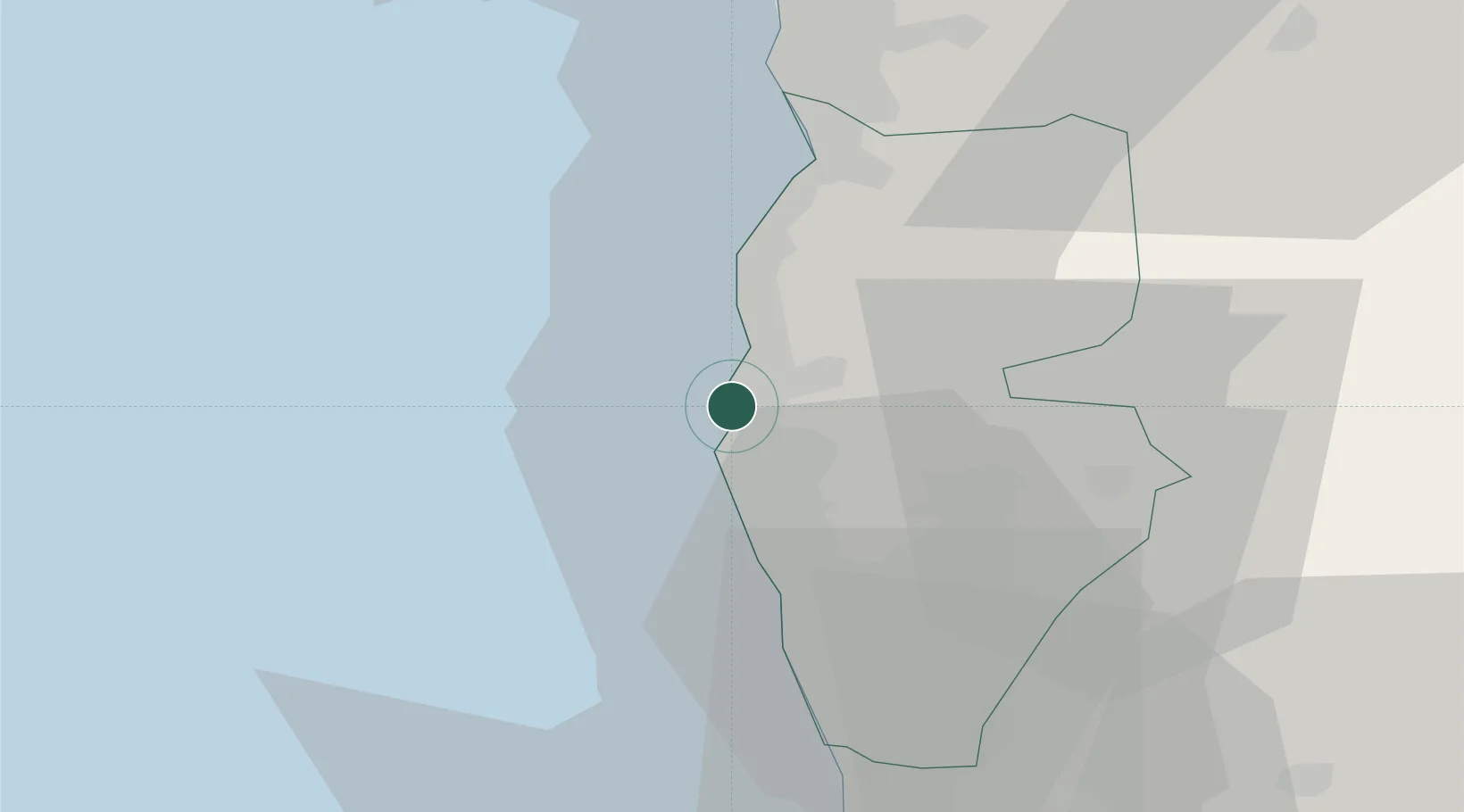
Nearby Logistics Neighbours

Cities
  1. 1Tartus7 km
  2. 2Arwad13 km
  3. 3Baniyas25 km
  4. 4Al Ladhiqiyah62 km
  5. 5Latakia64 km
Nearest neighbours — logibook spatial index (haversine) over the source coordinates
Ports
  1. 1Tartus8 km
  2. 2Baniyas25 km
  3. 3Tarabulus58 km
  4. 4Al Ladhiqiyah64 km
  5. 5Selaata79 km
Nearest neighbours — logibook spatial index (haversine) over the source coordinates
Airports
  1. 1Rene Mouawad Air Base44 km
  2. 2Latakia International Airport49 km
  3. 3Al Qusayr Air Base77 km
  4. 4Wujah Al Hajar Air Base79 km
  5. 5Rayak Air Base124 km
Nearest neighbours — logibook spatial index (haversine) over the source coordinates
Trade Zones
  1. 1Tartous Tartus Free Zone6 km
  2. 2Tripoli Special Economic Zone58 km
  3. 3Latakia Lattakia Free Port64 km
  4. 4LatakiaLattakia Free Zone64 km
  5. 5Port of Beirut Logistics Free Zone124 km
Nearest neighbours — logibook spatial index (haversine) over the source coordinates
DatabookThe Record of Consolidated Knowledge
Syria beyond logistics?
Browse databook

All Sources

LocationsUN/LOCODE
UN/LOCODE — free
Portsthe NGA World Port Index
Public domain (US gov)
AirportsOurAirports
Public domain
Trade Zonesthe World Bank SEZ database
CC BY 4.0
Trade ZonesOpen Zone Map
CC BY
← Syria locations