Transport Functions
Port
Road
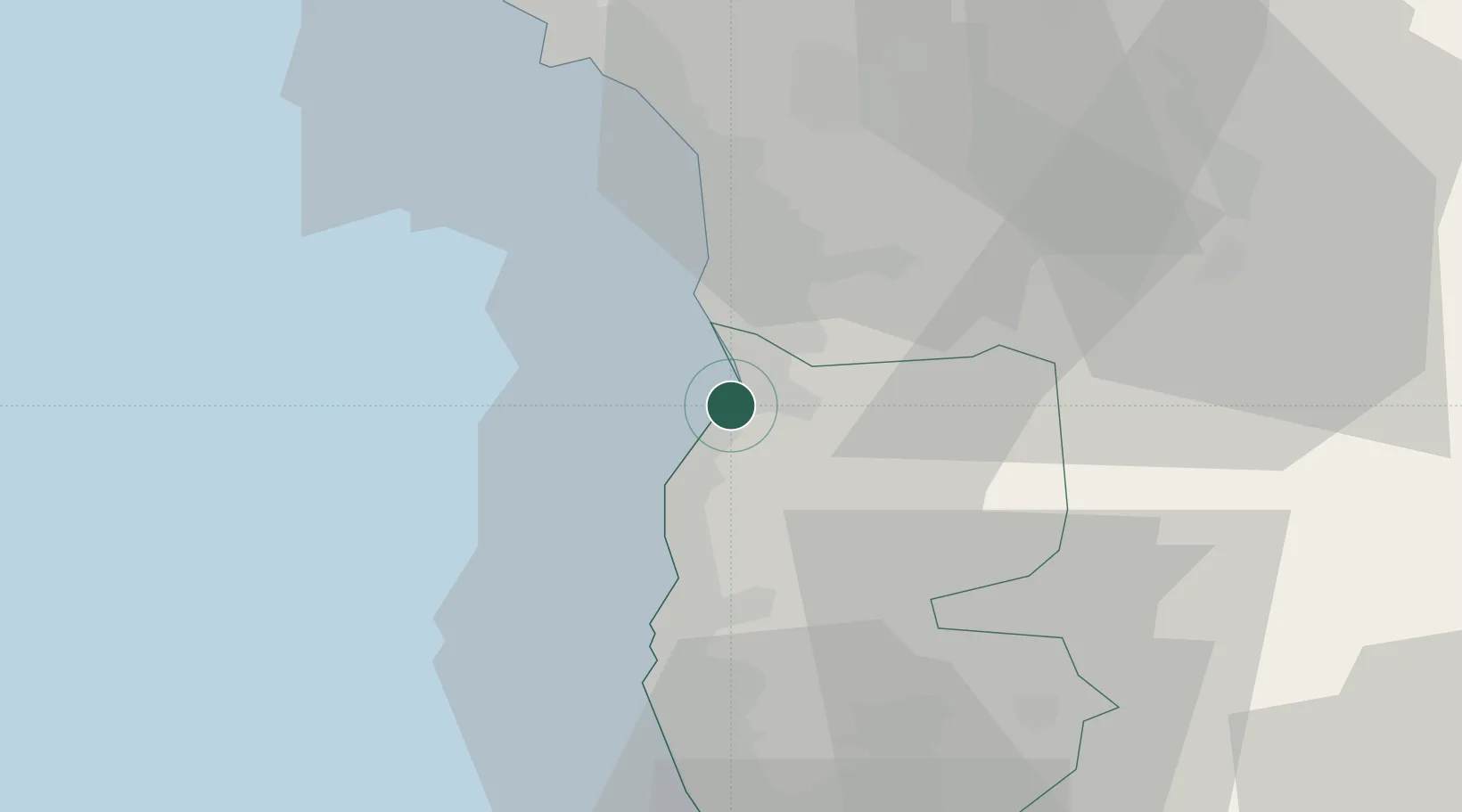
Hub Profile
Place type
Provincial seat
Region
Tartus
Population
39,066
Time zone
Asia/Damascus
Elevation
31 m
Location
Nearby Logistics Neighbours
Cities
- 1Tartus Oil Terminal25 km
- 2Tartus32 km
- 3Arwad38 km
- 4Al Ladhiqiyah40 km
- 5Latakia42 km
Ports
- 1Tartus32 km
- 2Al Ladhiqiyah42 km
- 3Tarabulus82 km
- 4Selaata104 km
- 5Bayrut149 km
Airports
- 1Latakia International Airport24 km
- 2Rene Mouawad Air Base66 km
- 3Al Qusayr Air Base89 km
- 4Wujah Al Hajar Air Base103 km
- 5Abu ad Duhur Air Base121 km
Trade Zones
DatabookThe Record of Consolidated Knowledge
Syria beyond logistics?