Free Trade Zone · Syria

LatakiaLattakia Free Zone Active
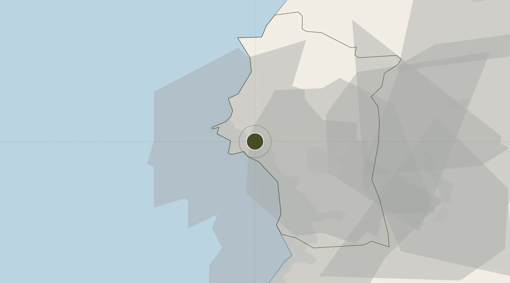
35.5389°, 35.8512°
296 ha
Zone area
7.7 km
Nearest port
17.7 km
Nearest airport

Gateway access

Nearest neighbours — logibook spatial index (haversine) over the source coordinates

Zone profile

Zone type
Free Trade Zone
Open Zone Map
Region
Lattakia
Open Zone Map
Status
Active
Open Zone Map
Management
Public
Open Zone Map
Operator
The General Establishment of Free Zones
Open Zone Map
Legal framework
Investment Law No. 10 (1991) and Its Amending Decrees No. 7 (2000) and Nos. 8 and 9 on January 27, 2007.
Open Zone Map

Location

Location of ozm-4378
Natural Earth 10m (public domain) · Lattakia · ozm-4378 · 35.54, 35.85GoogleOSMYandex

Nearby Logistics Neighbours

Ports
  1. 1Al Ladhiqiyah8 km
  2. 2Baniyas40 km
  3. 3Tartus71 km
  4. 4Tarabulus121 km
  5. 5Iskenderun121 km
Nearest neighbours — logibook spatial index (haversine) over the source coordinates
Airports
  1. 1Latakia International Airport18 km
  2. 2Hatay Airport100 km
  3. 3Rene Mouawad Air Base107 km
  4. 4Abu ad Duhur Air Base115 km
  5. 5Al Qusayr Air Base126 km
Nearest neighbours — logibook spatial index (haversine) over the source coordinates
Cities
  1. 1Al Ladhiqiyah7 km
  2. 2Latakia7 km
  3. 3Baniyas41 km
  4. 4Brummana44 km
  5. 5Kuyubasi61 km
Nearest neighbours — logibook spatial index (haversine) over the source coordinates
Trade Zones
  1. 1Latakia Lattakia Free Port7 km
  2. 2Tartous Tartus Free Zone70 km
  3. 3Tripoli Special Economic Zone121 km
  4. 4Iskenderun Organized Industrial Zone132 km
  5. 5Aleppo Free Zone148 km
Nearest neighbours — logibook spatial index (haversine) over the source coordinates
DatabookThe Record of Consolidated Knowledge
Syria beyond logistics?
Browse databook

All Sources

Trade ZonesOpen Zone Map
CC BY
Portsthe NGA World Port Index
Public domain (US gov)
AirportsOurAirports
Public domain
LocationsUN/LOCODE
UN/LOCODE — free
← Syria trade zones